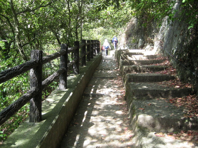
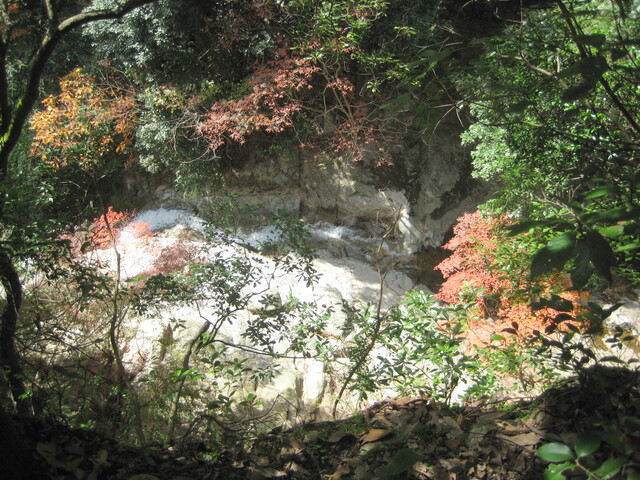
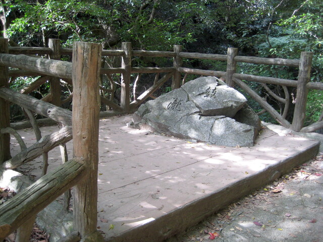
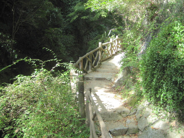
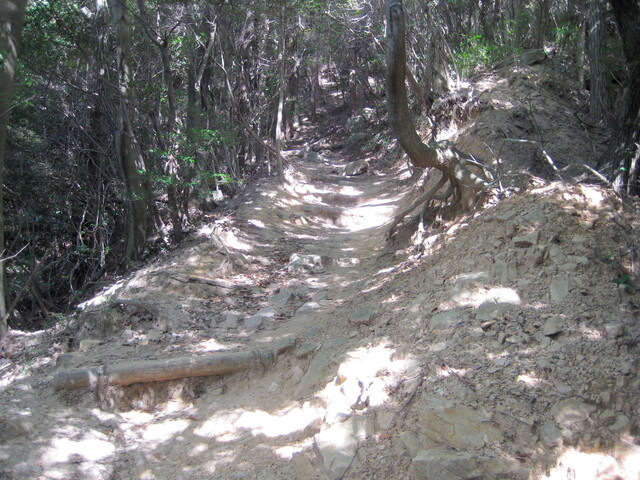
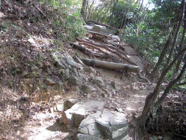
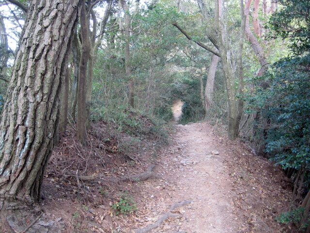
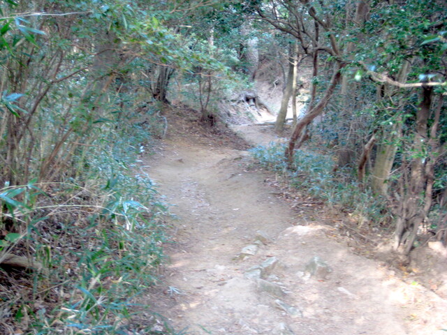
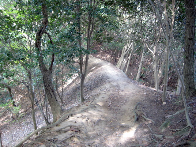
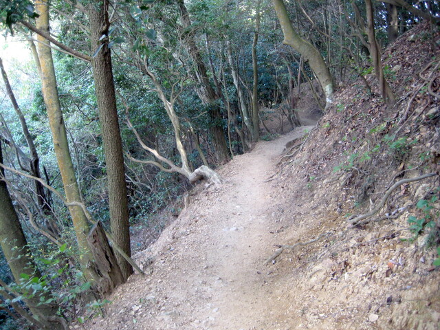
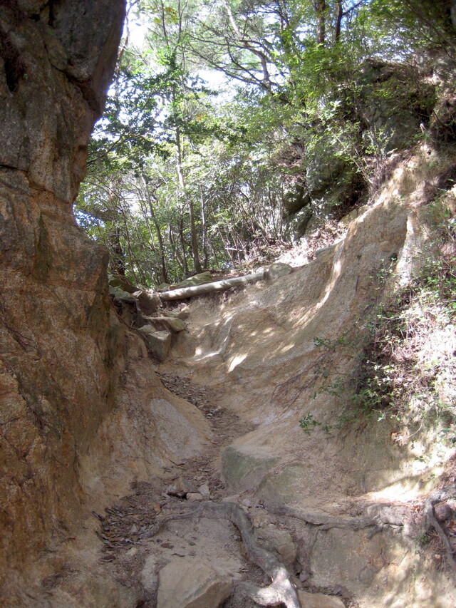
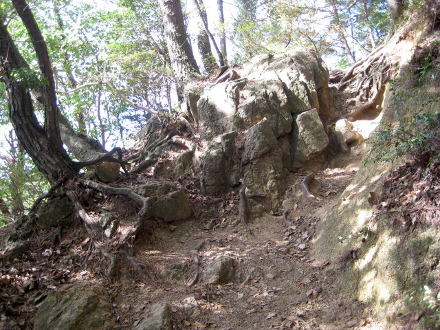
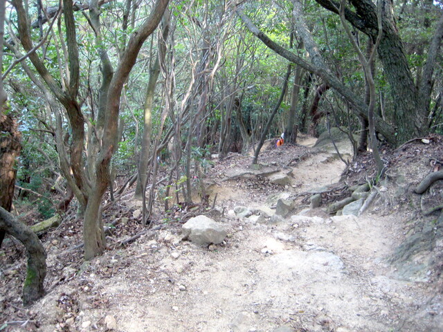
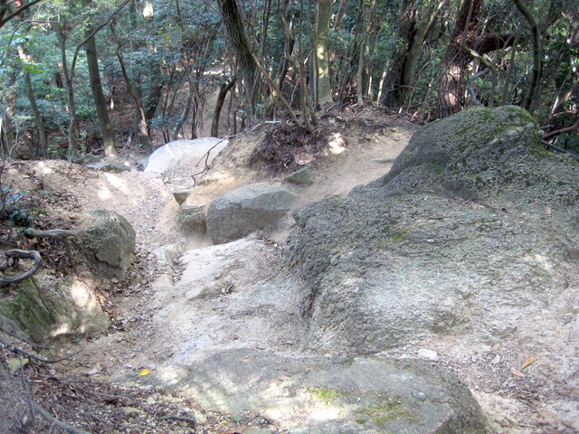
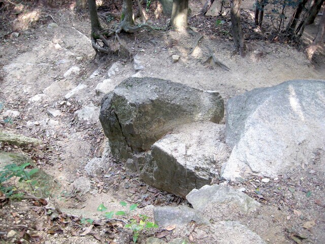
A ridiculous number of photos taken on a hike up Maya-san (702m), Kobe.
Route highlights:
Nishinomiya Kitaguchi Station
Kobe Sannomiya
Shin-Kobe Station
Nunobiki Waterfall
Nunobiki Herb Garden
Kikuseidai (Maya Peak)
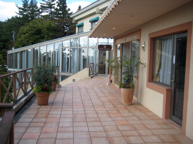
Hotel de Maya
Maya Ropeway
Maya Cable Car
Oji Koen
Nishinomiya Kitaguchi Station
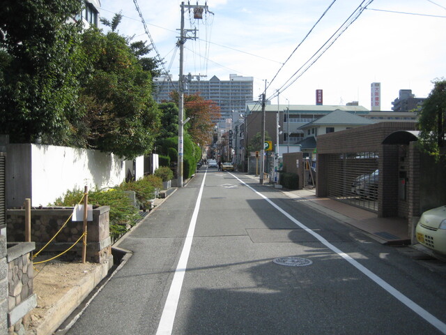
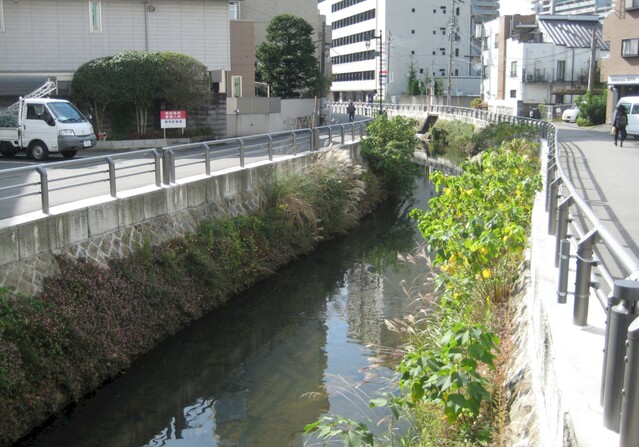
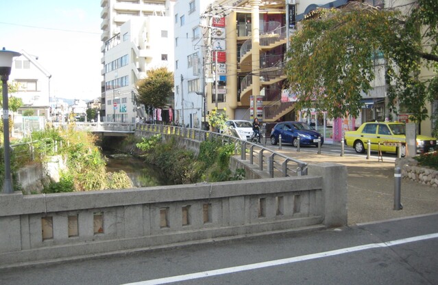
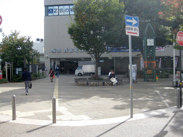
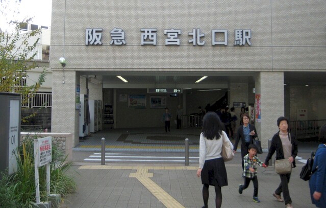
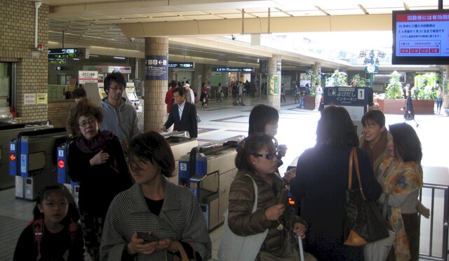
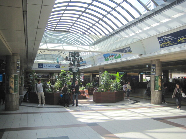
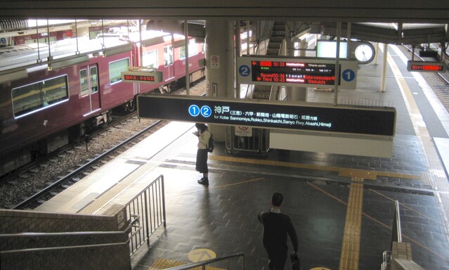
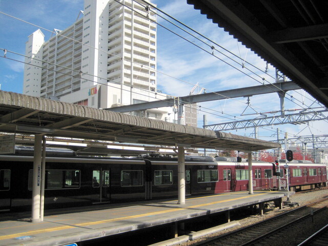
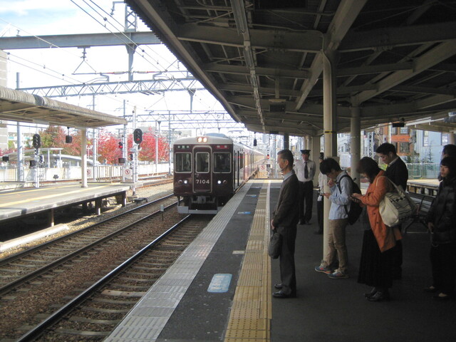
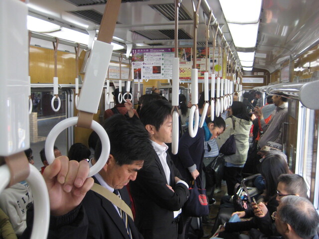
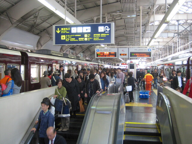
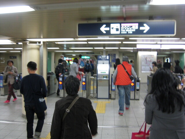
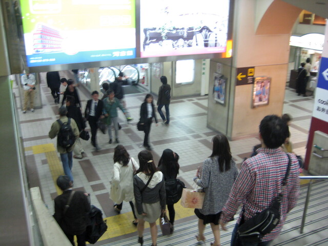
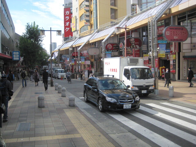
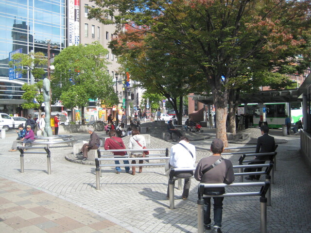
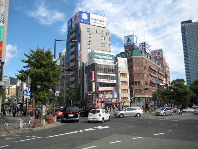
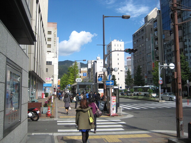
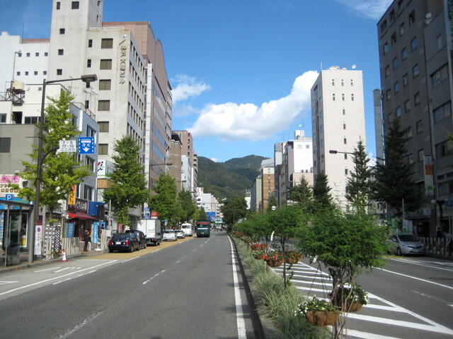
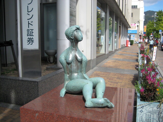
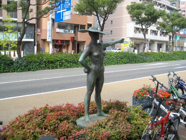
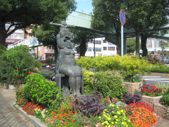
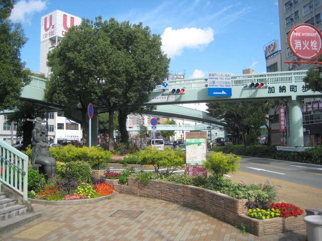
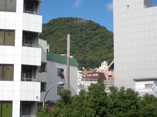
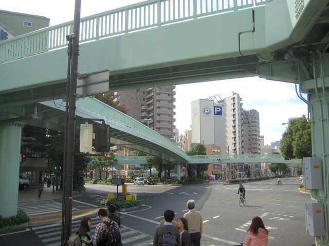
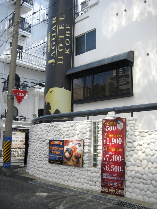
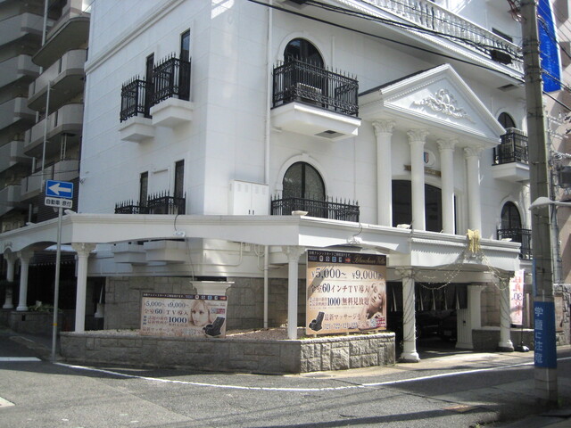
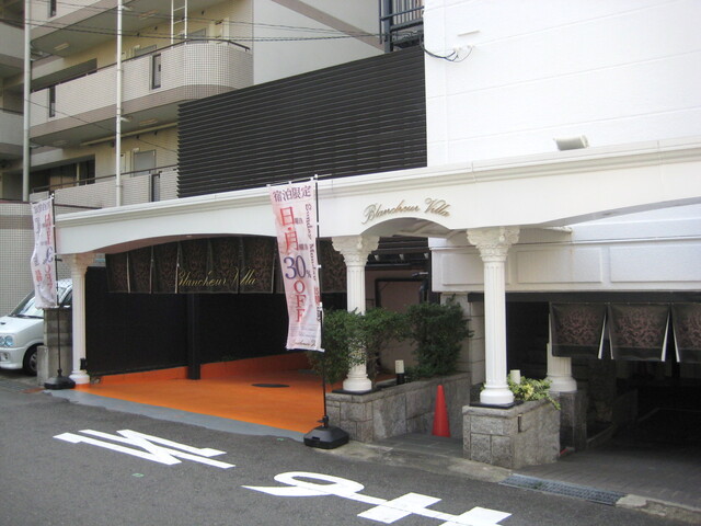
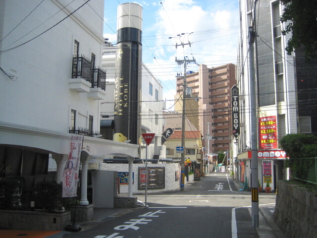
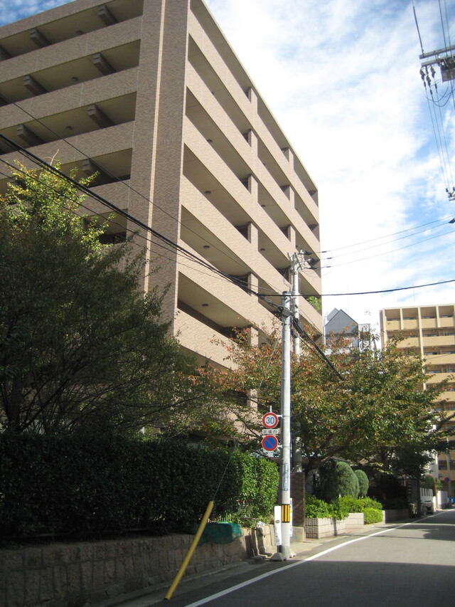
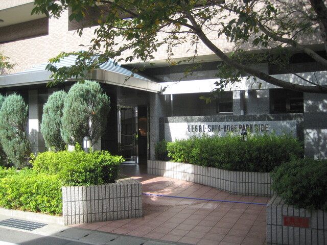
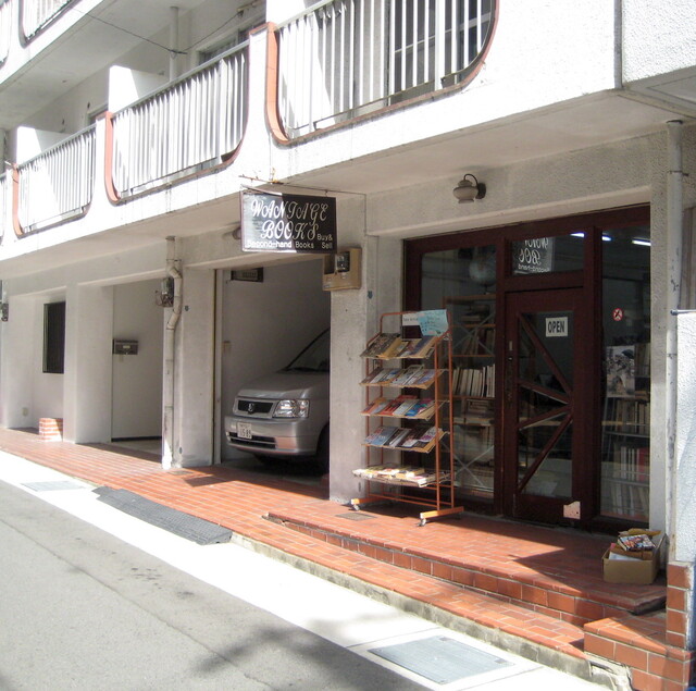
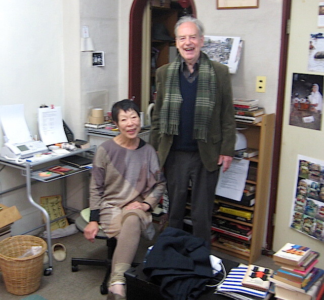
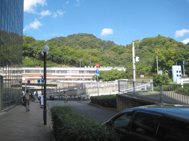
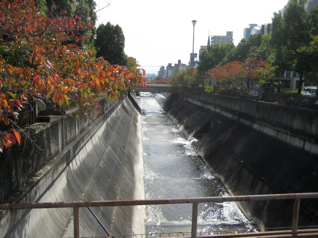
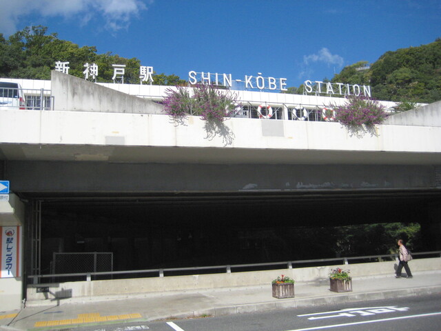
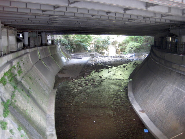
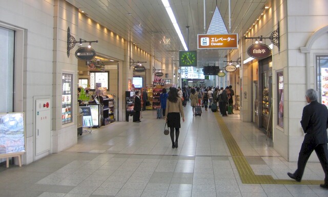
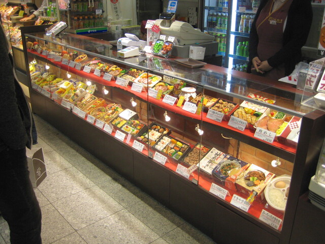
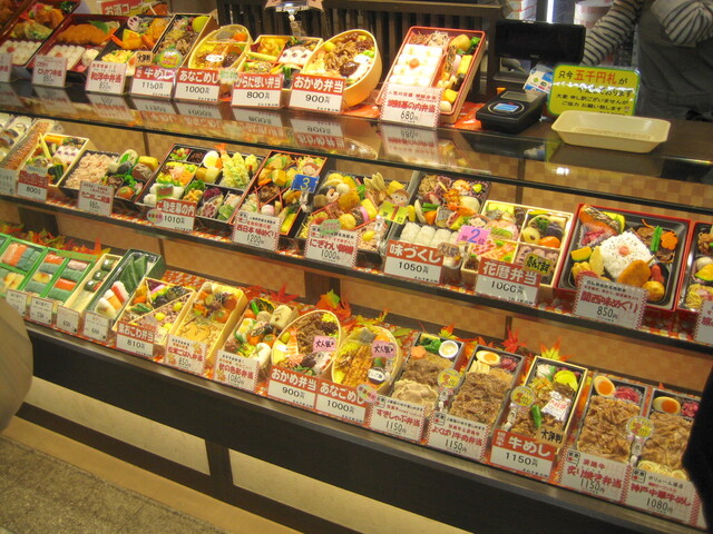
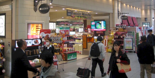
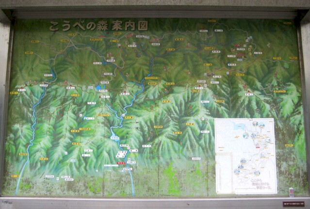
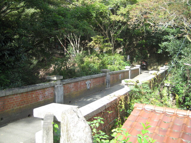
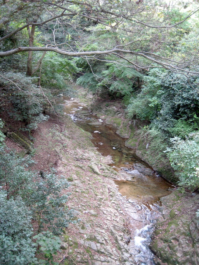
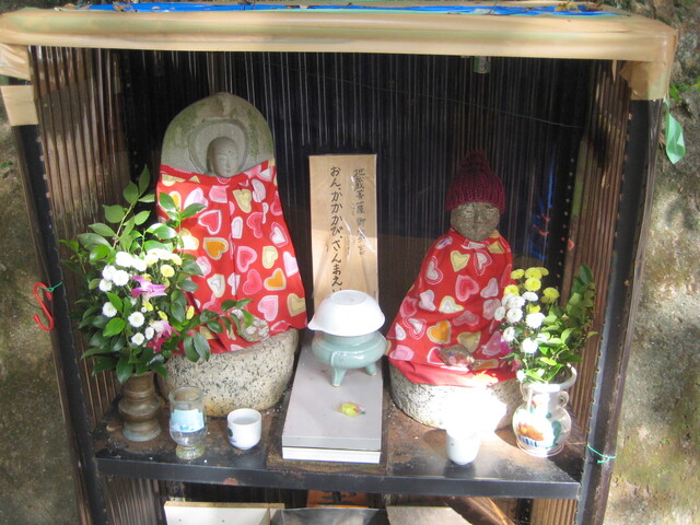
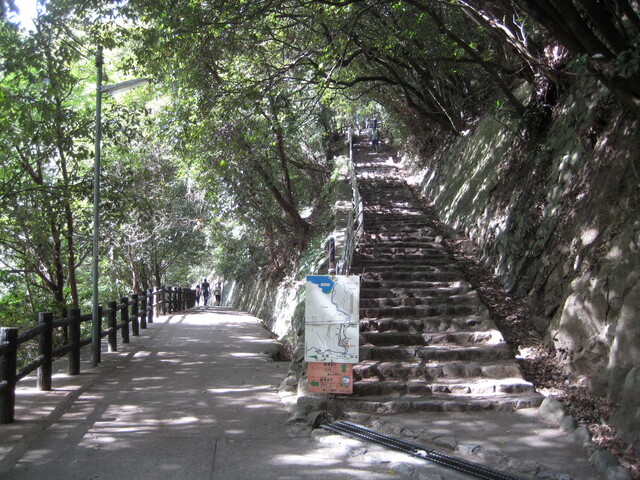
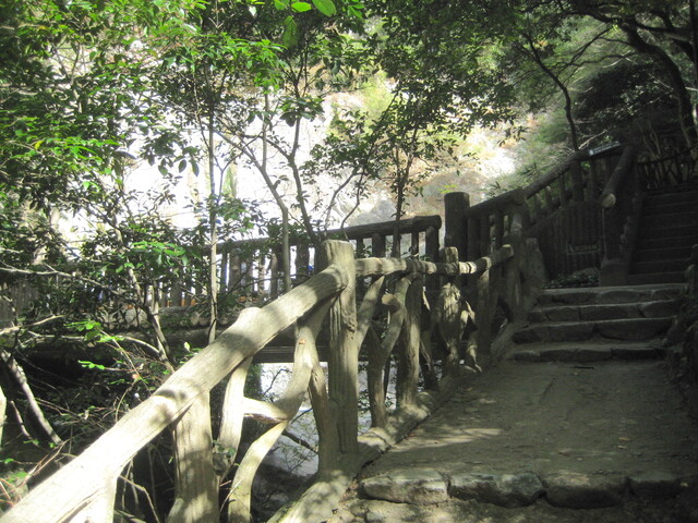
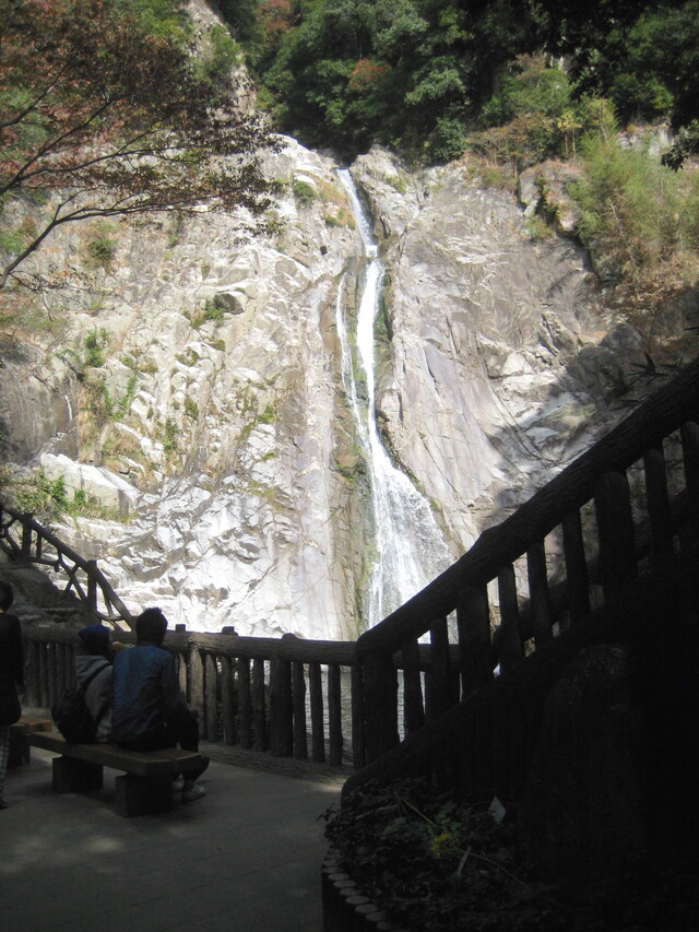
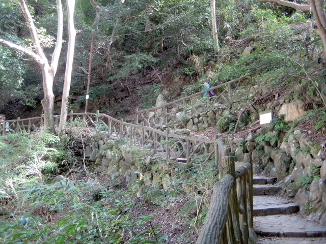
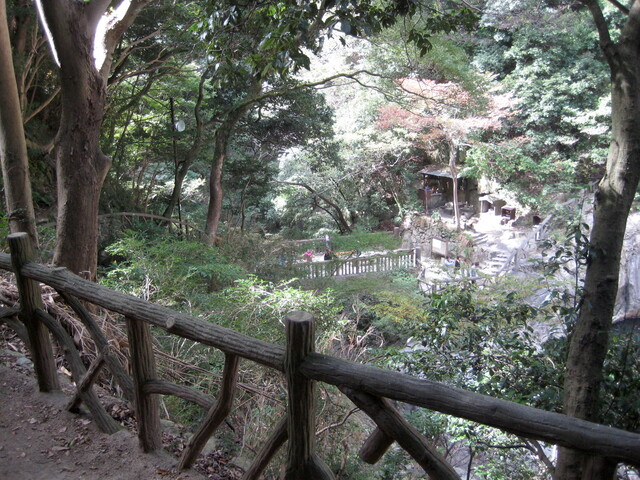
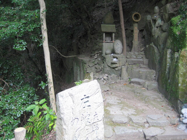
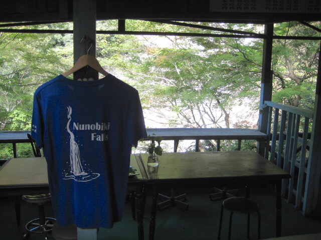
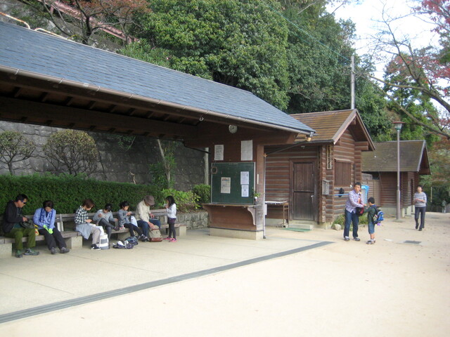
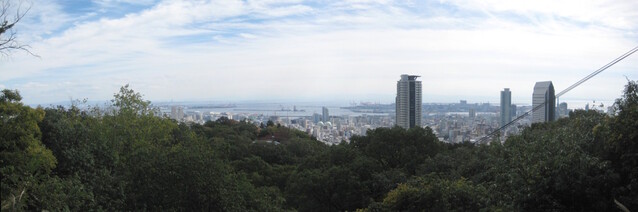
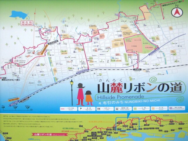
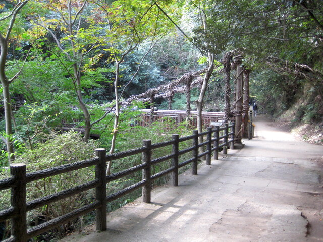
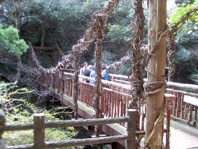
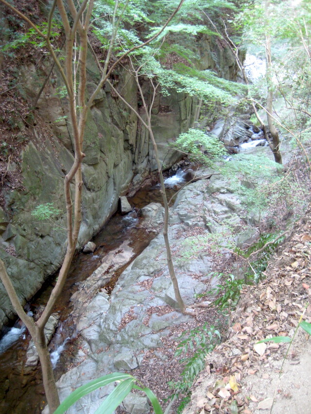
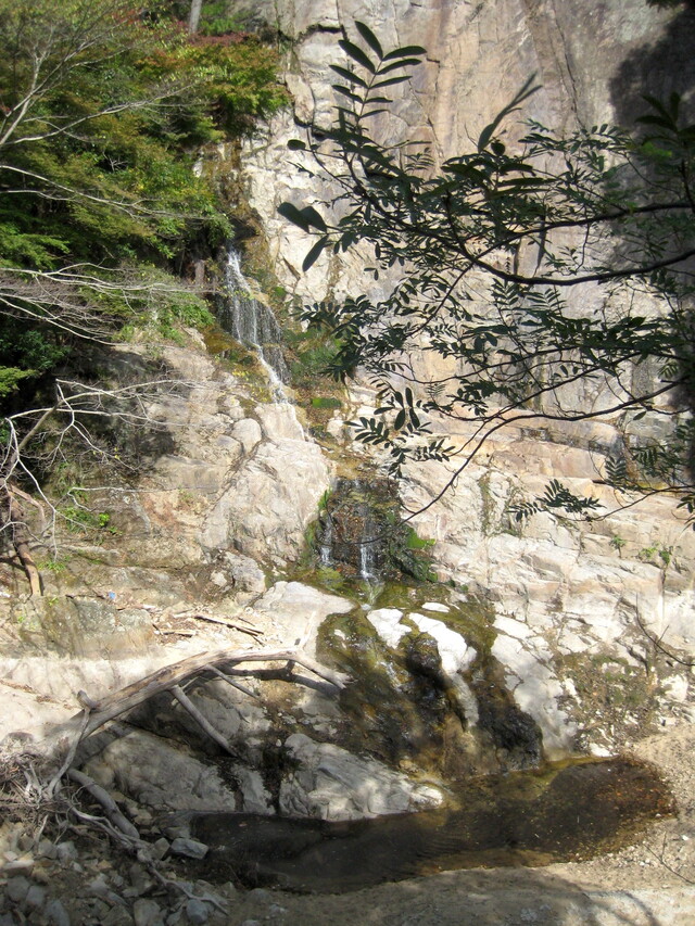
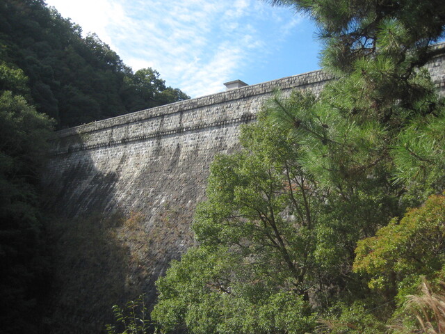
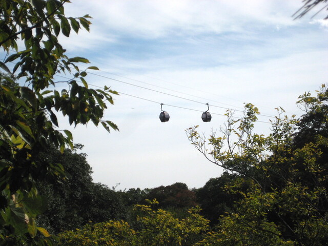
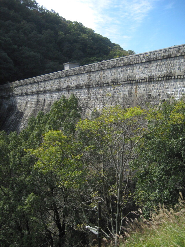
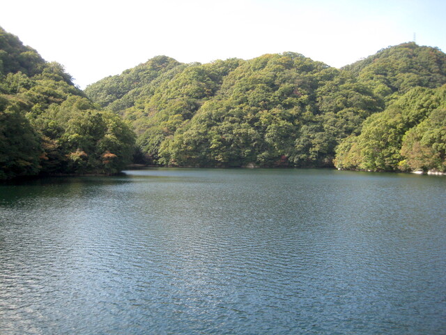
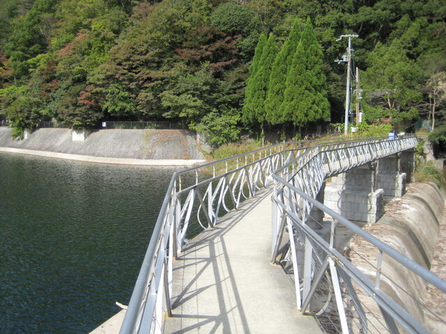
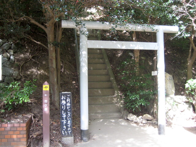
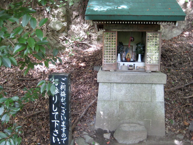
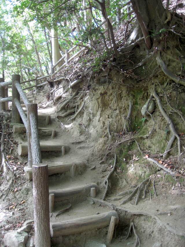
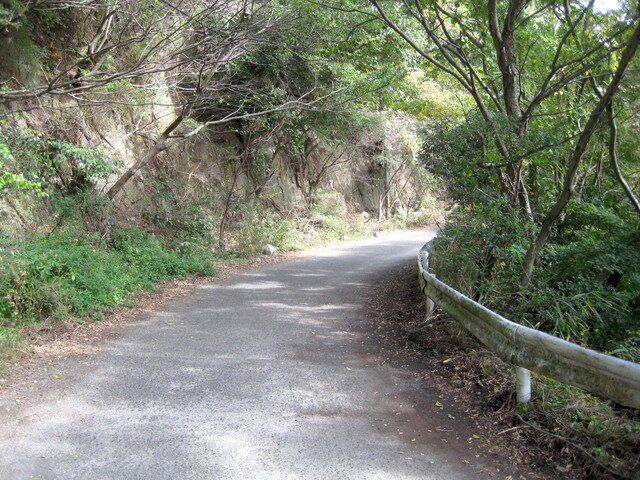
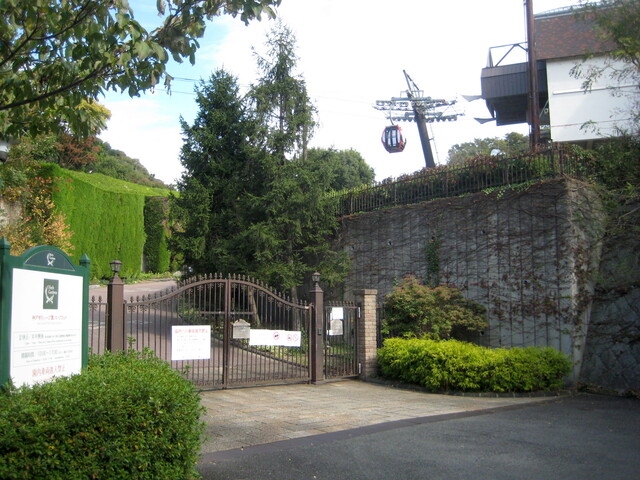
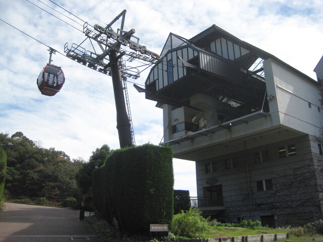
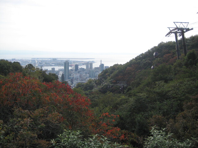
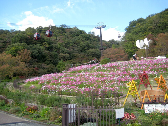
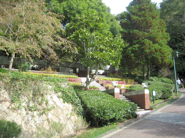
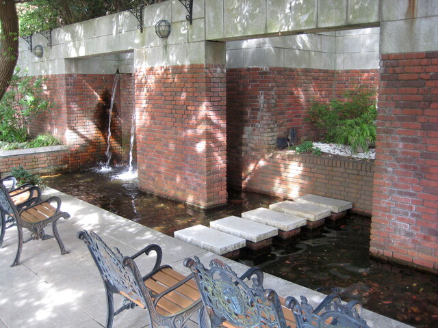
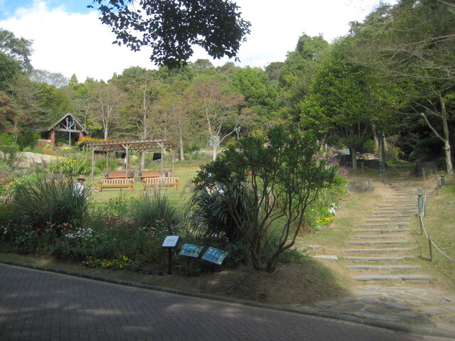
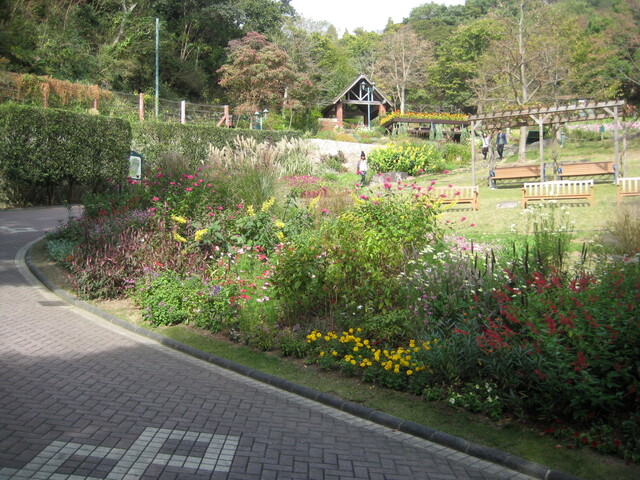
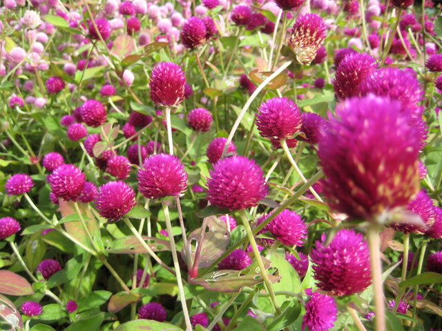
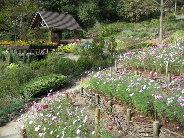
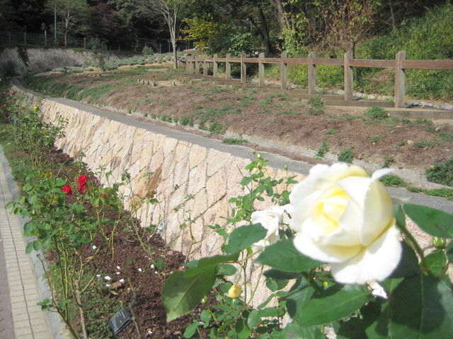
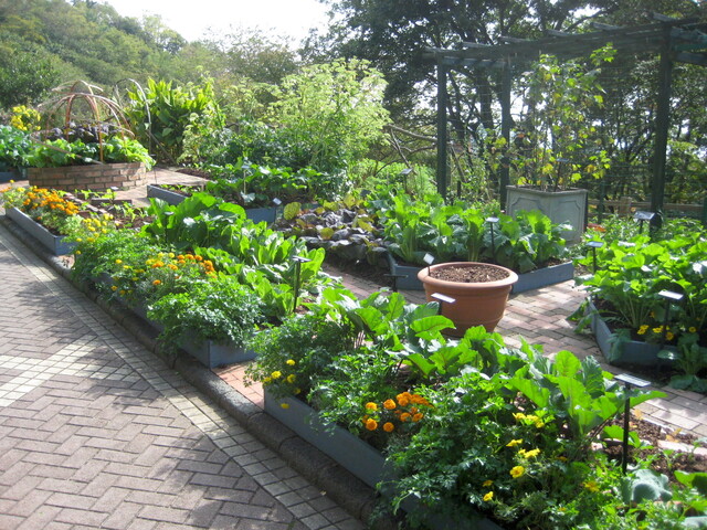
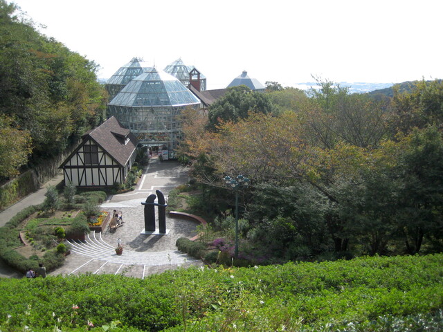
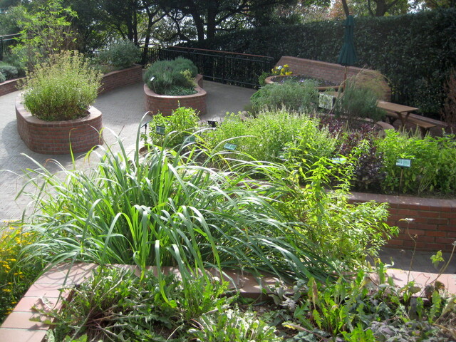
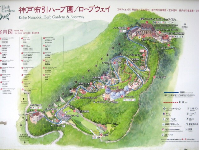
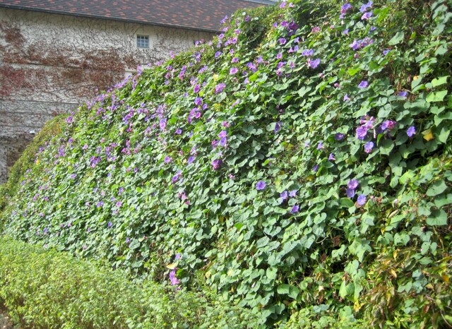
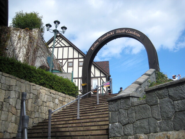
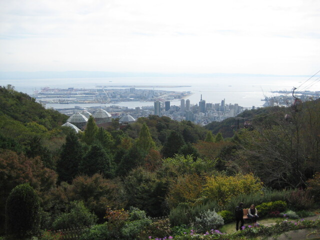
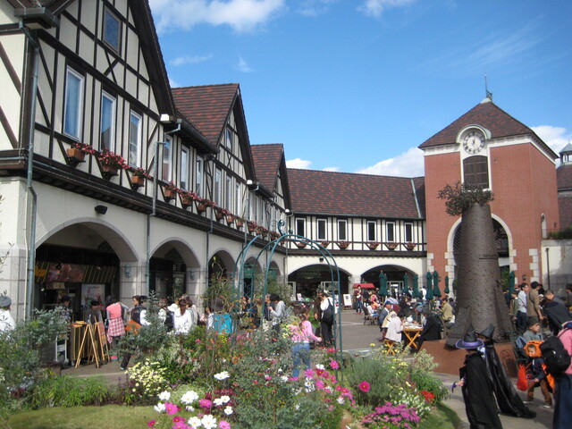
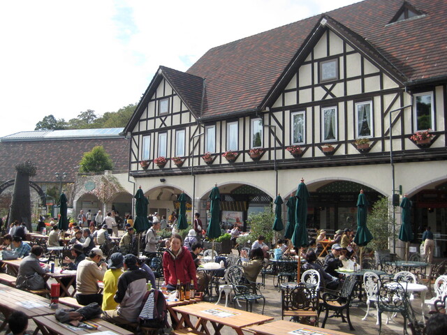
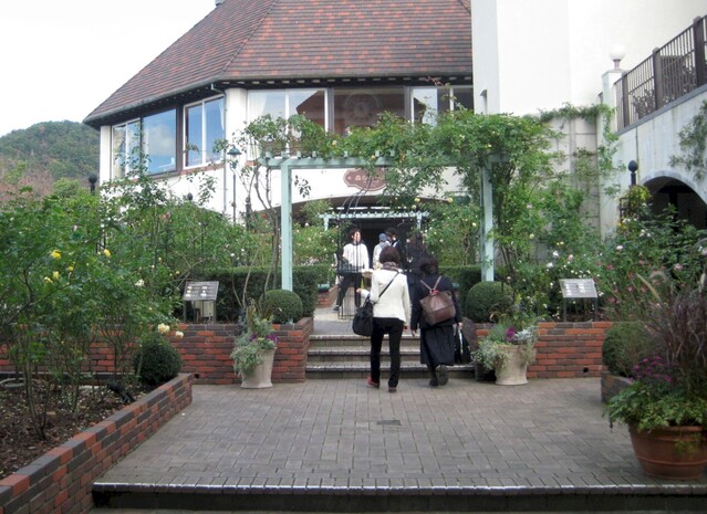
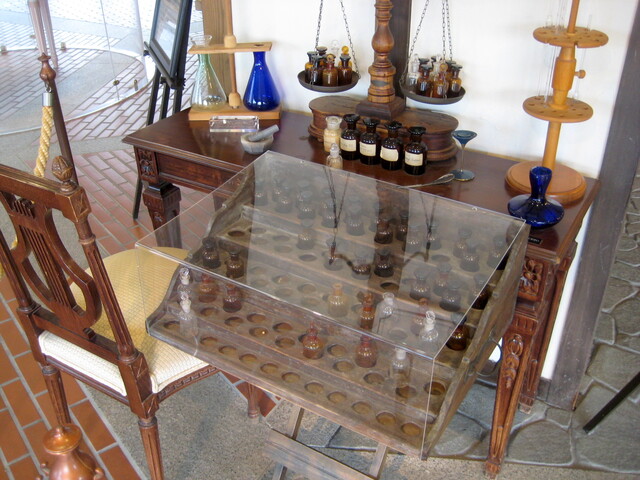
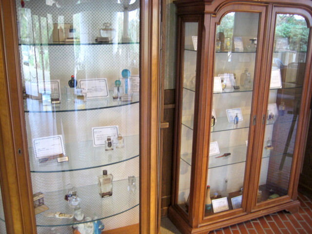
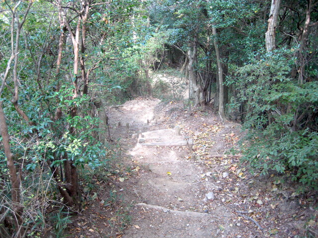
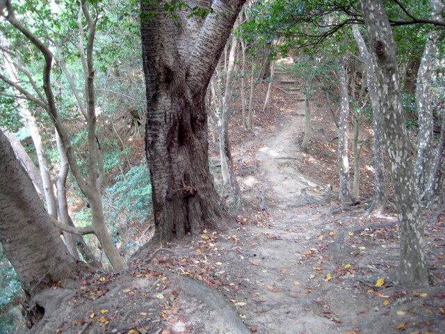
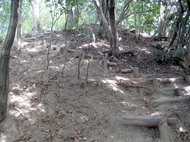
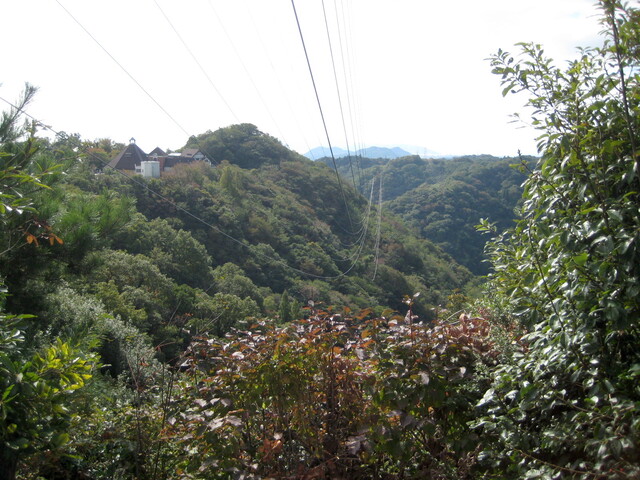
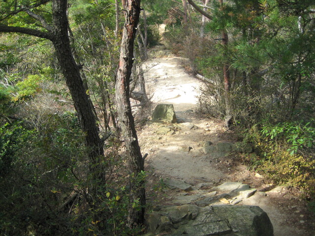
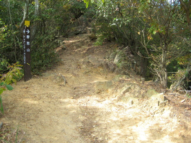
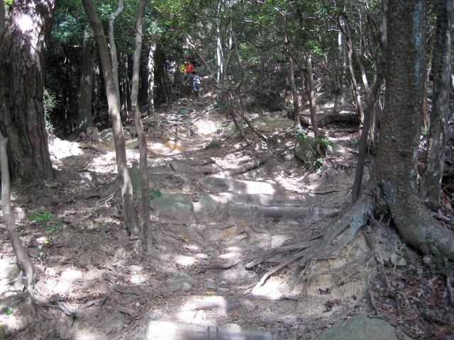
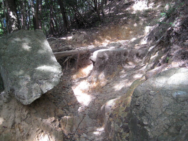
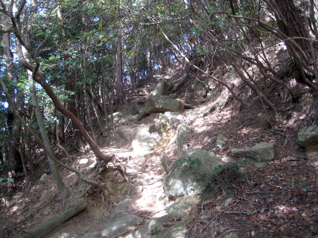
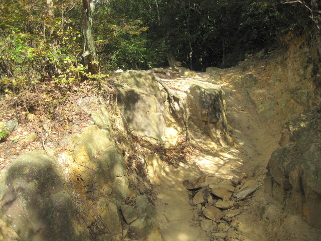
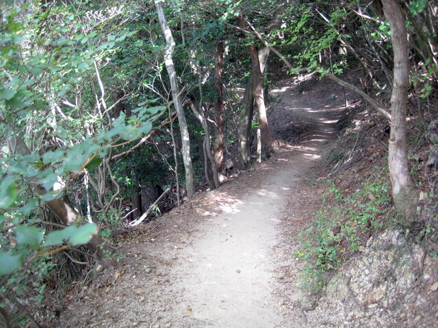
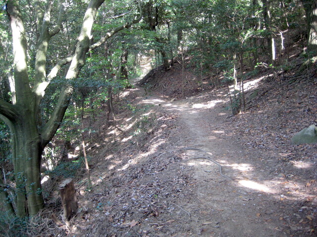
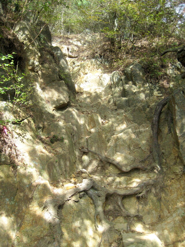
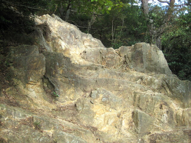
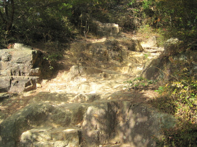
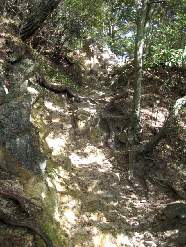
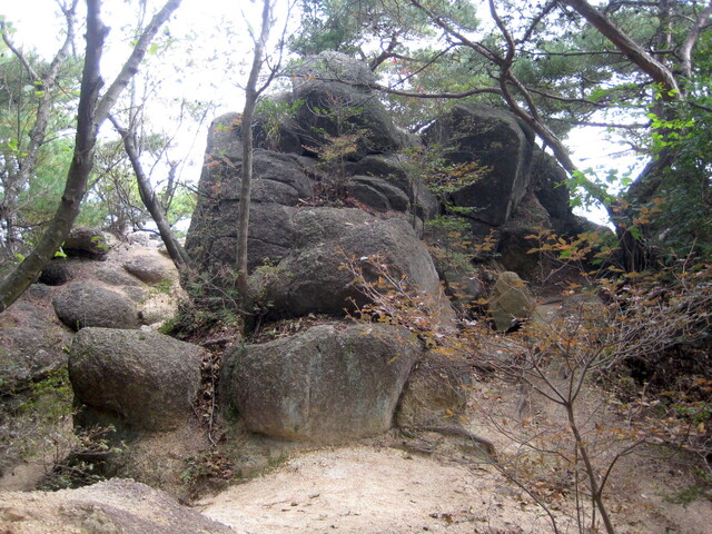
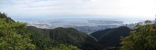
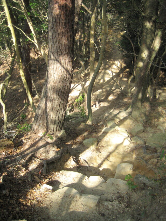
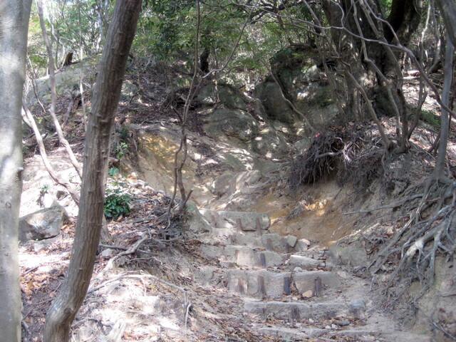
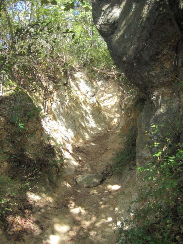
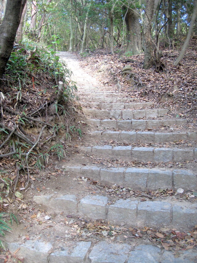
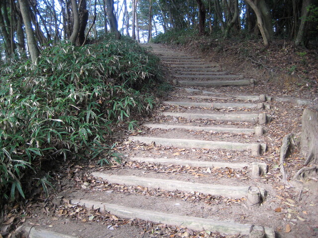
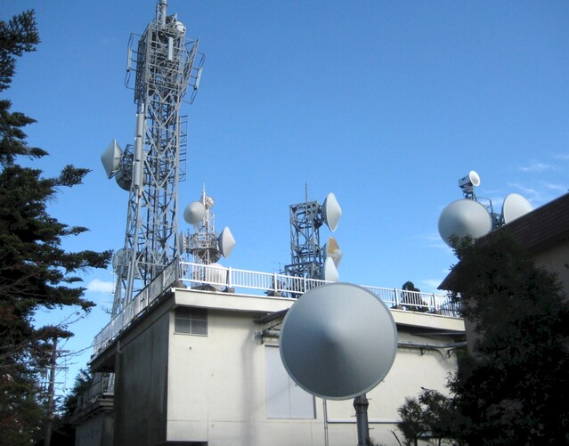
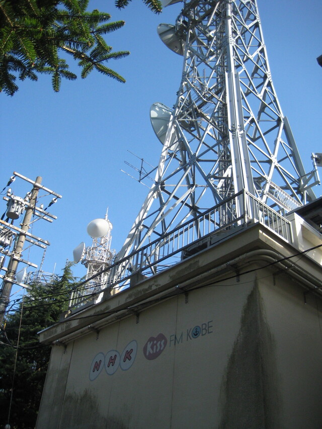
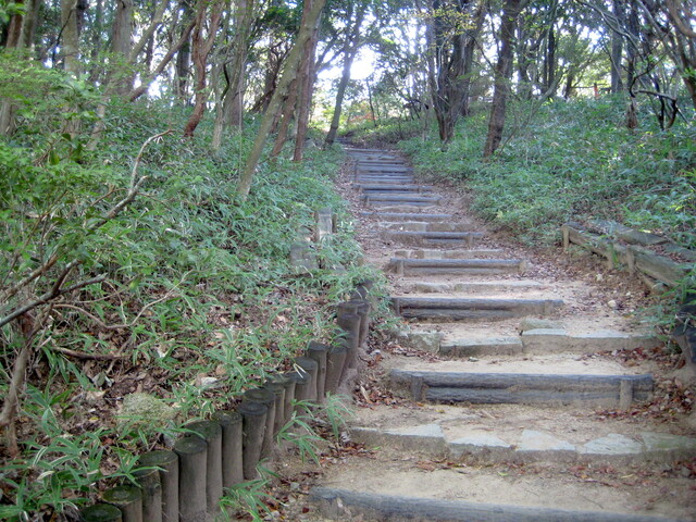
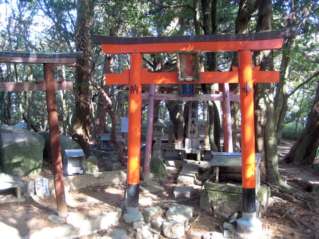
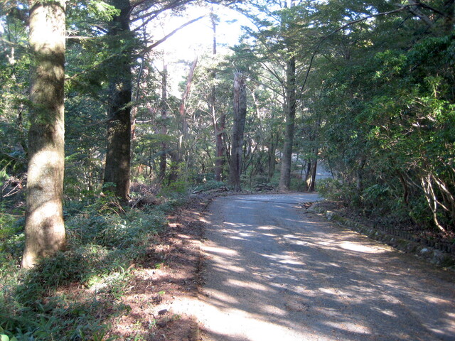
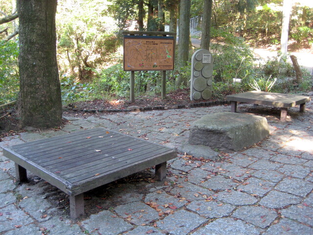
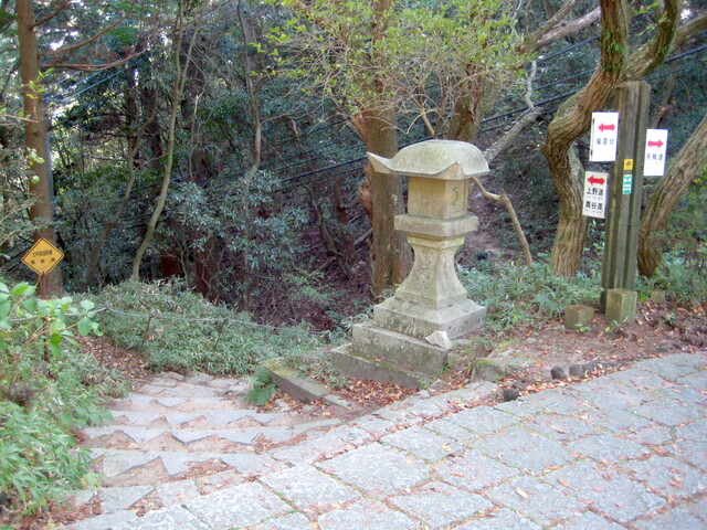
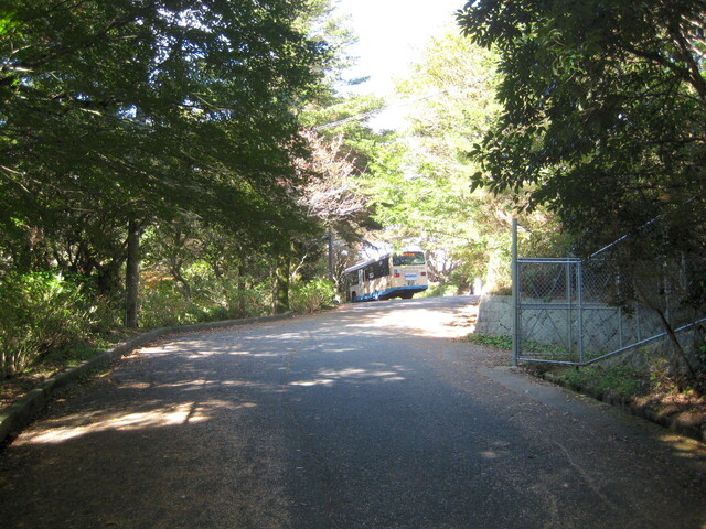
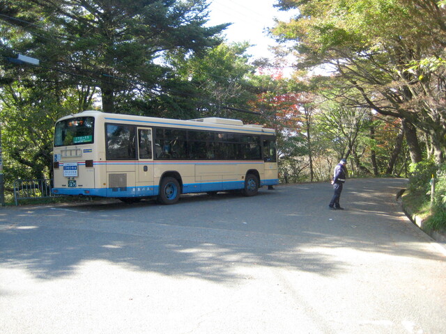
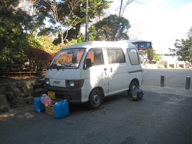
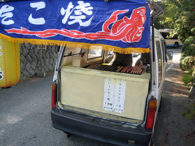
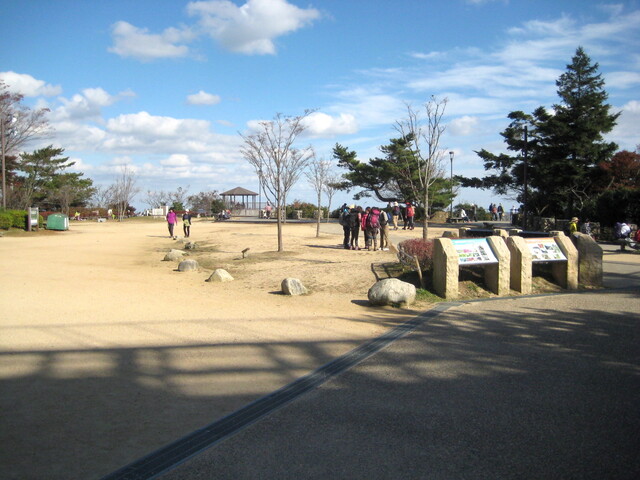
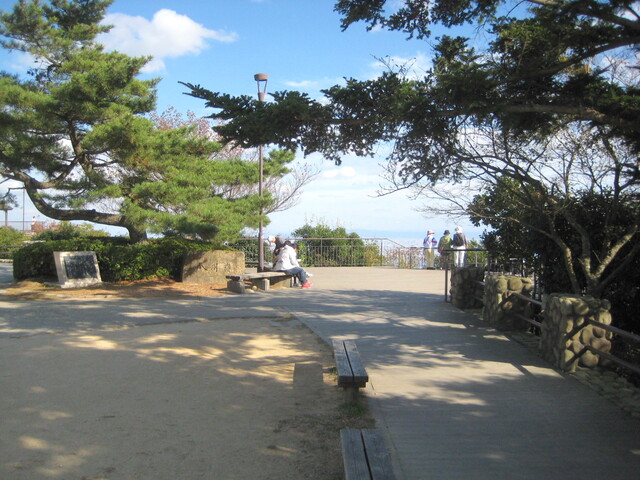
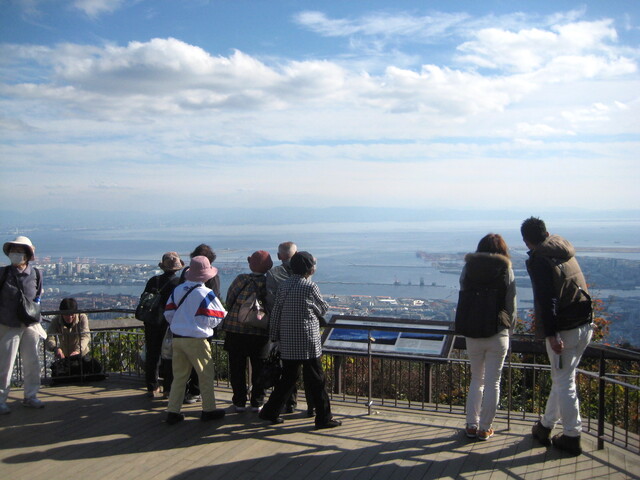
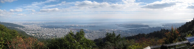
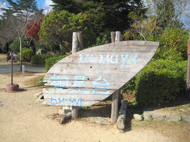
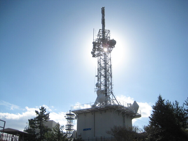
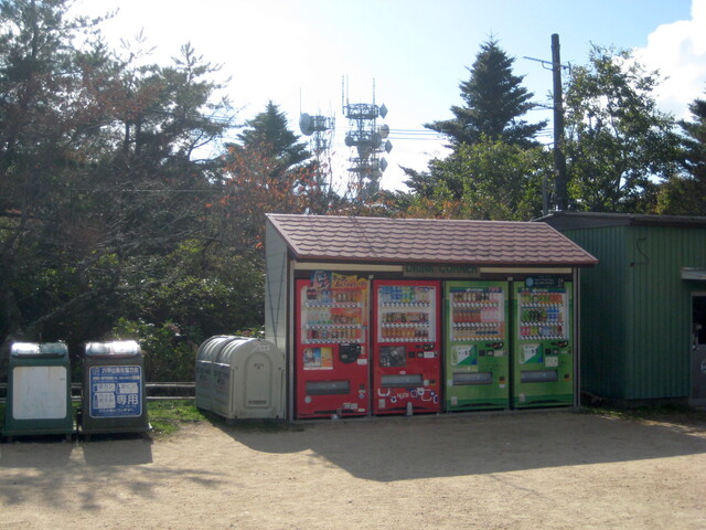
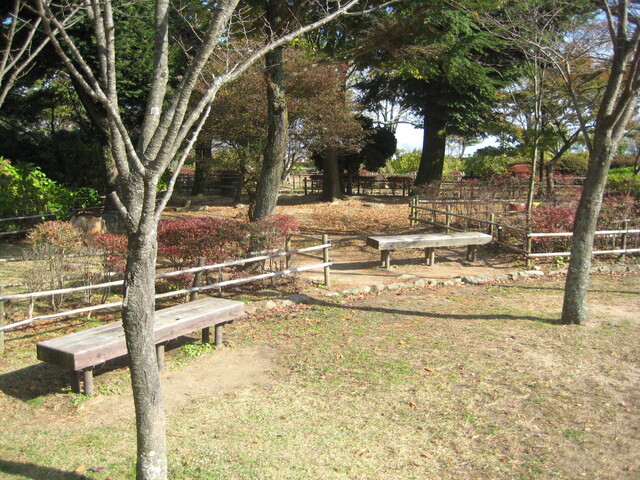
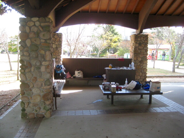
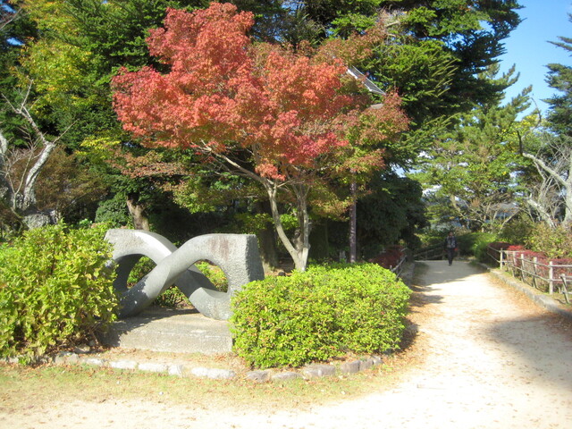
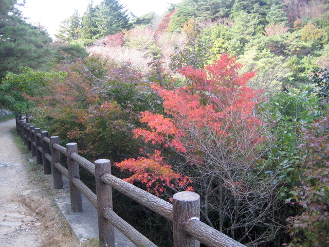
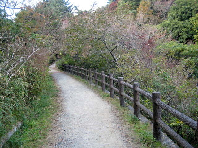
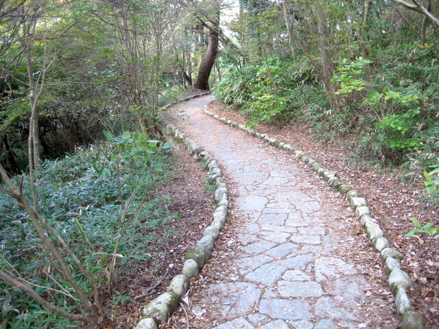
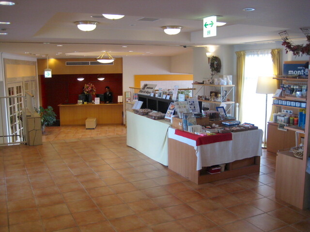
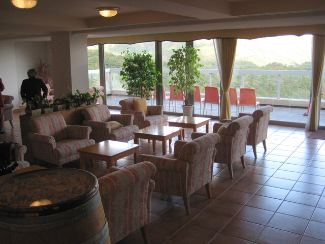
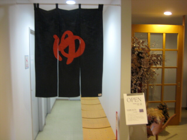
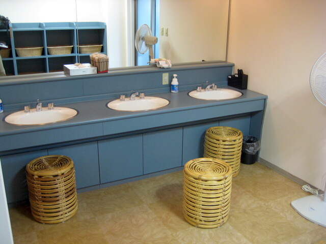
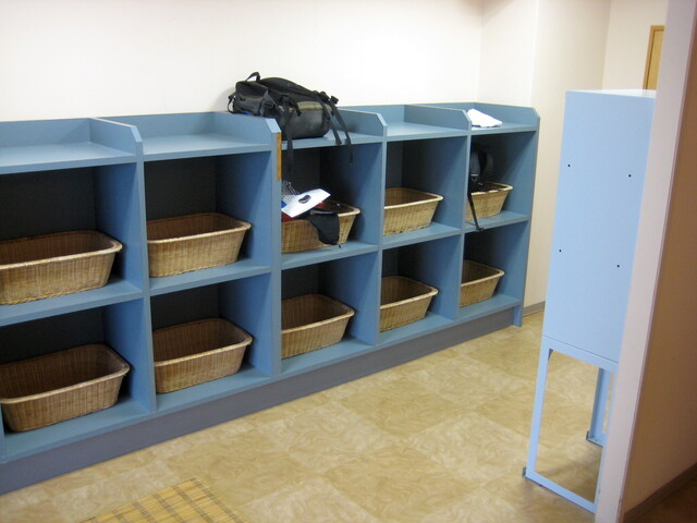
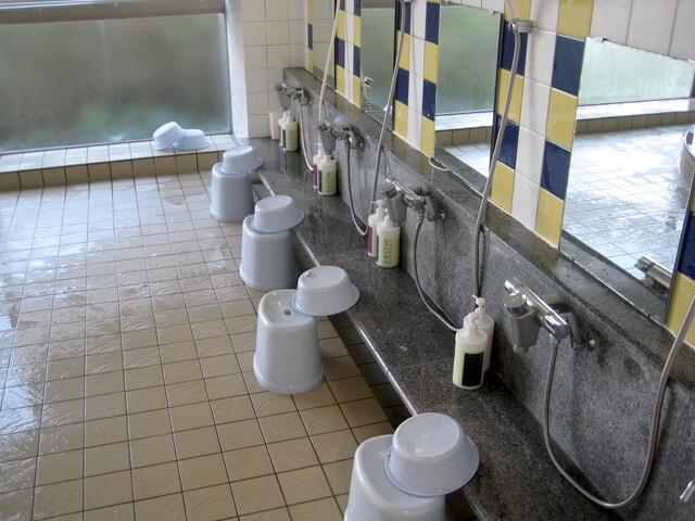
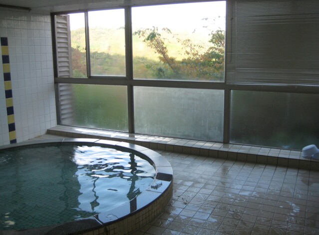
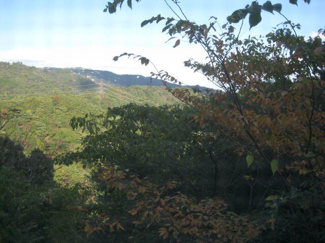
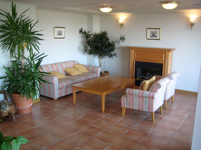
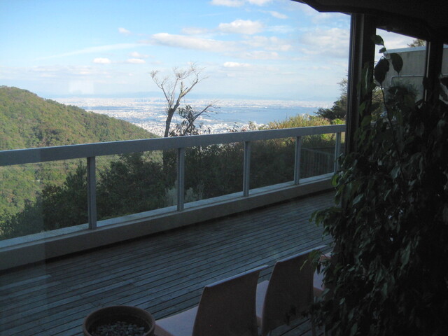
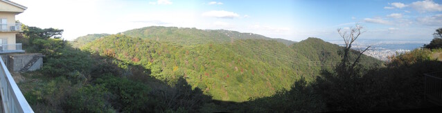
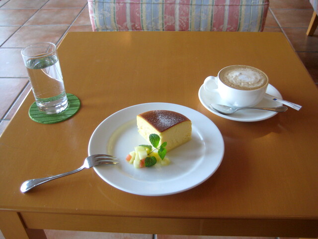
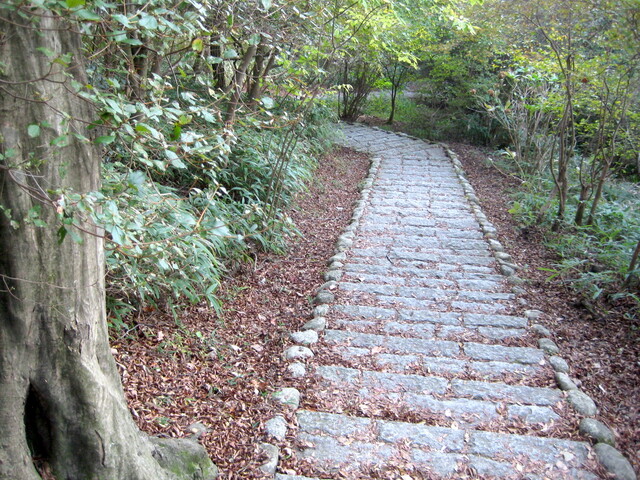
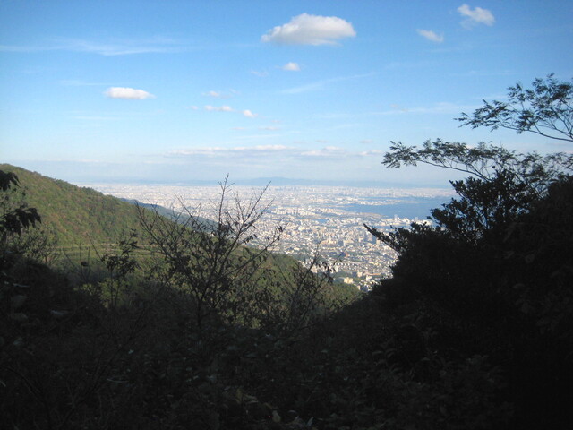
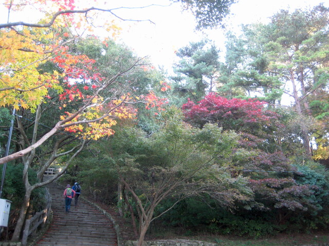
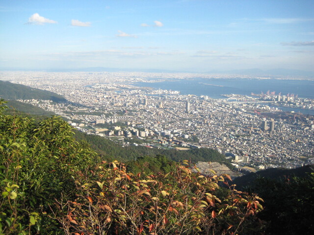
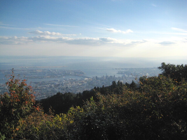
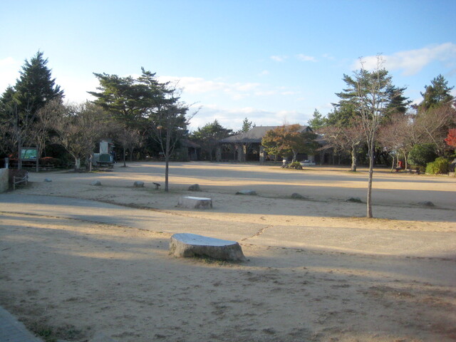
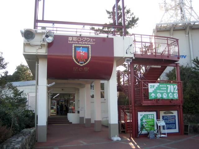
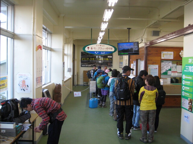
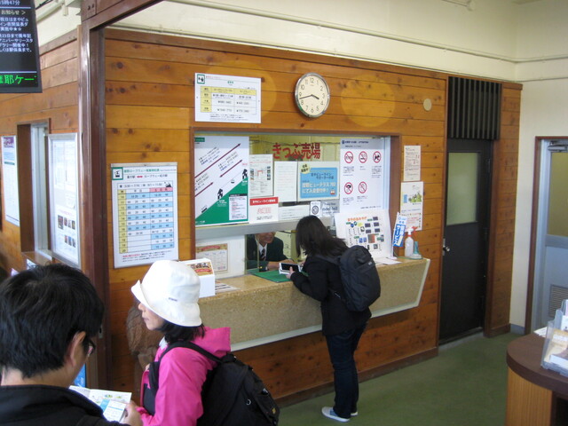
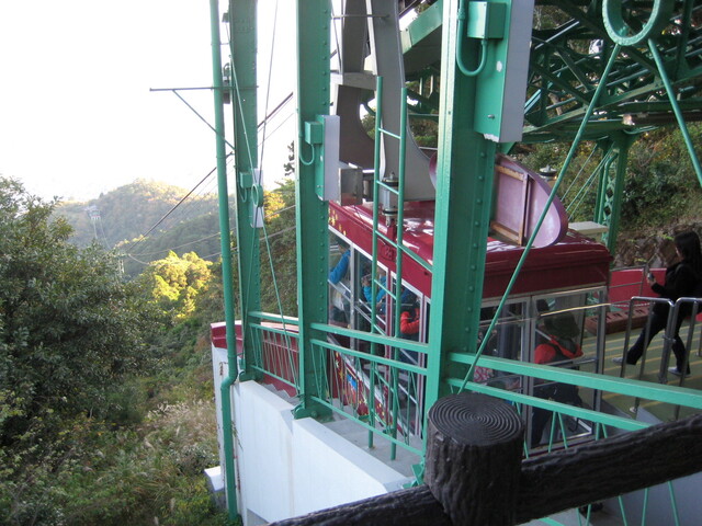
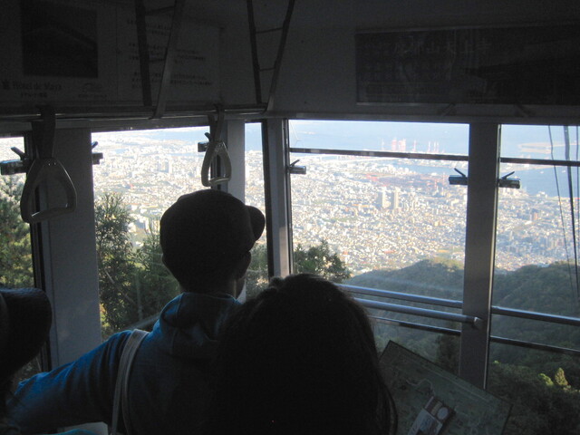
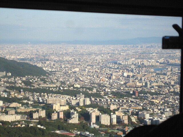
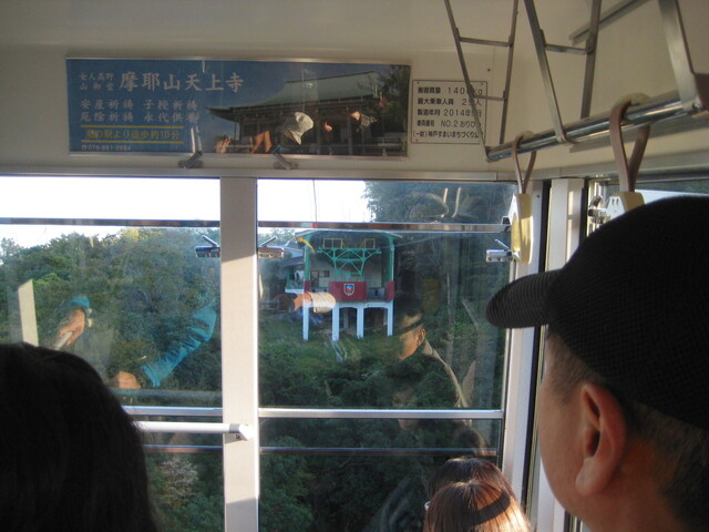
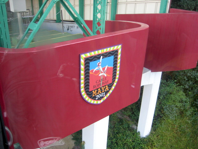
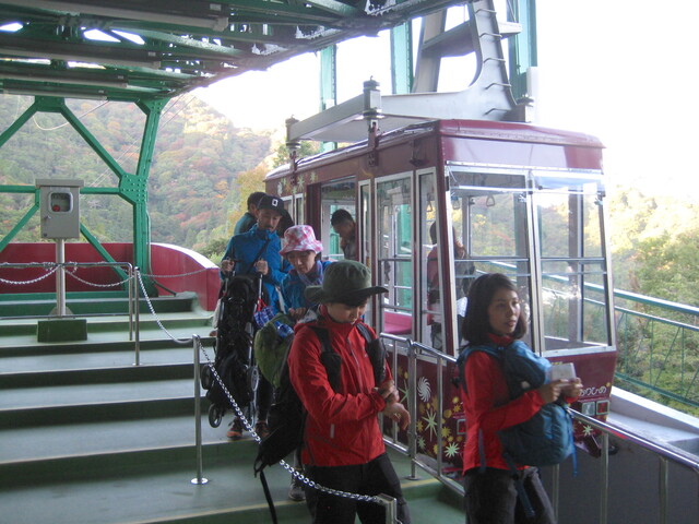
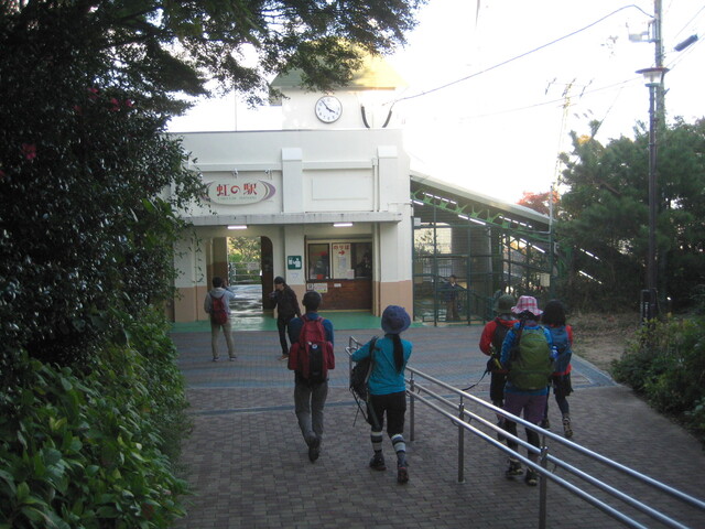
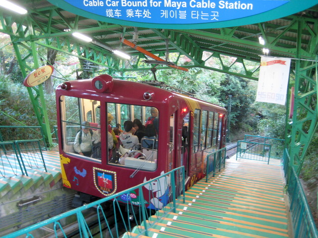
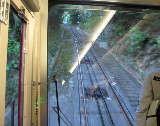
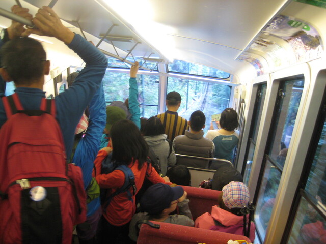
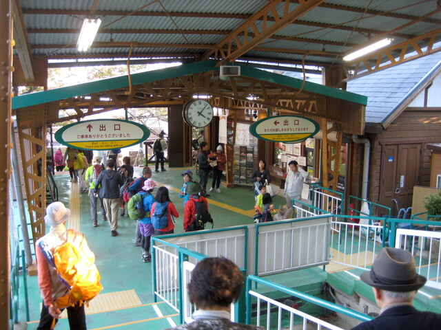
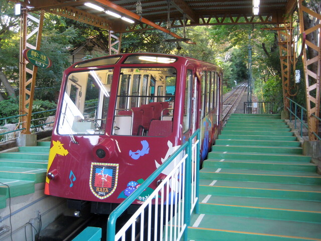
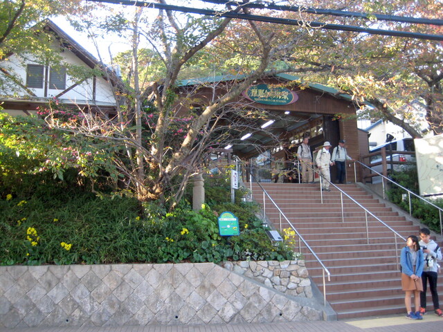
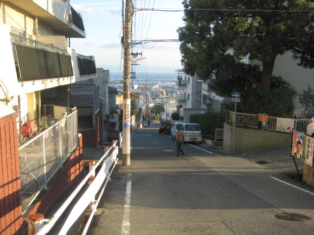
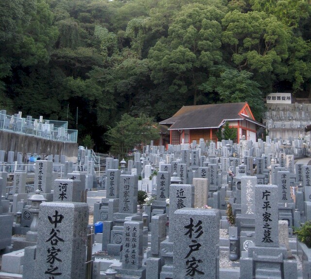
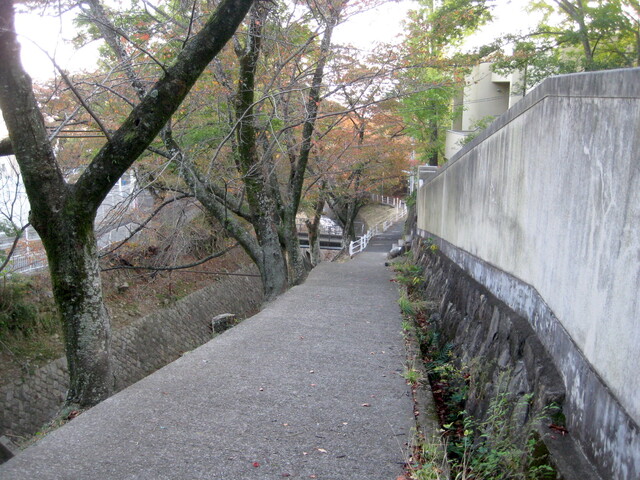
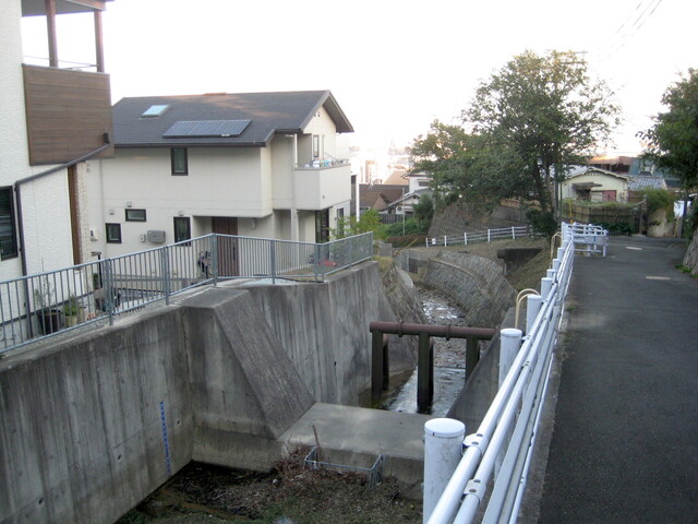
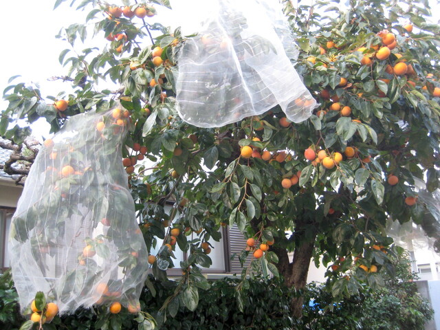
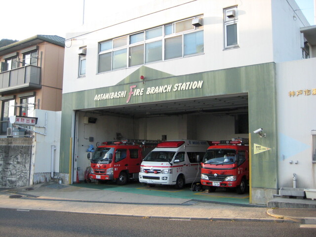
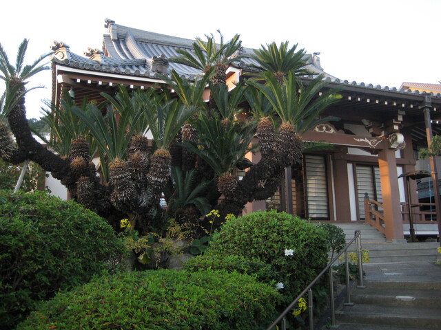
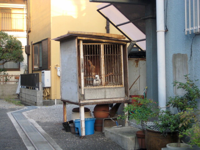
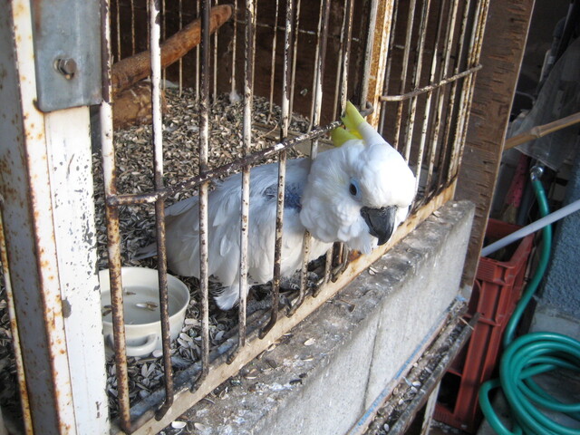
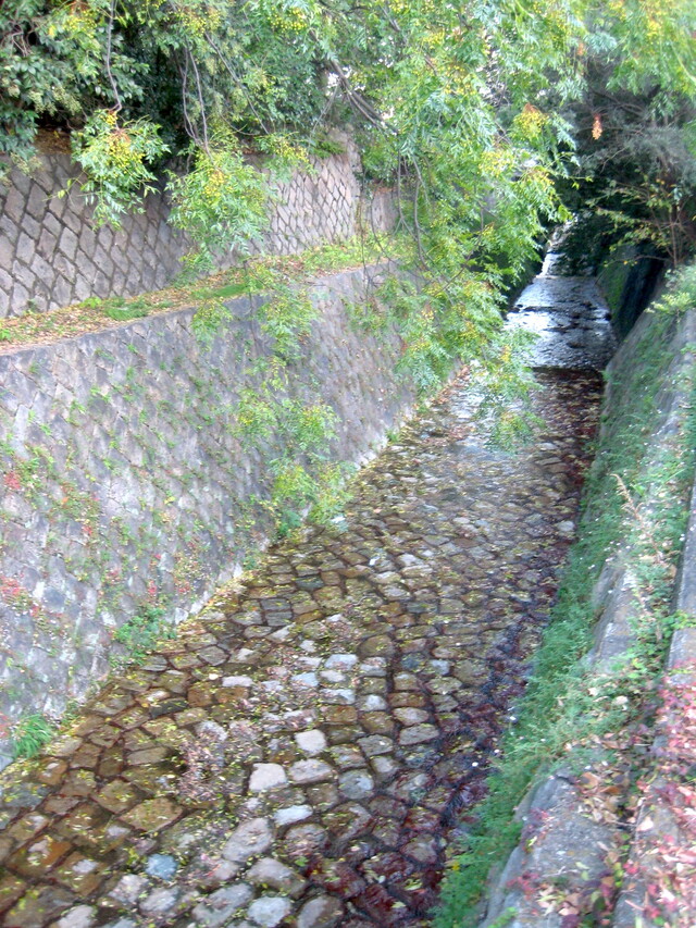
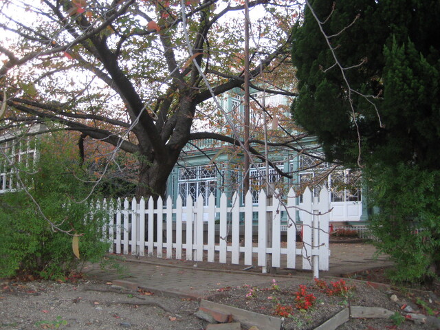
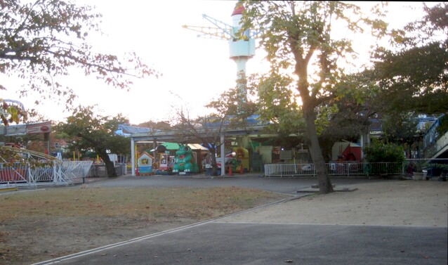
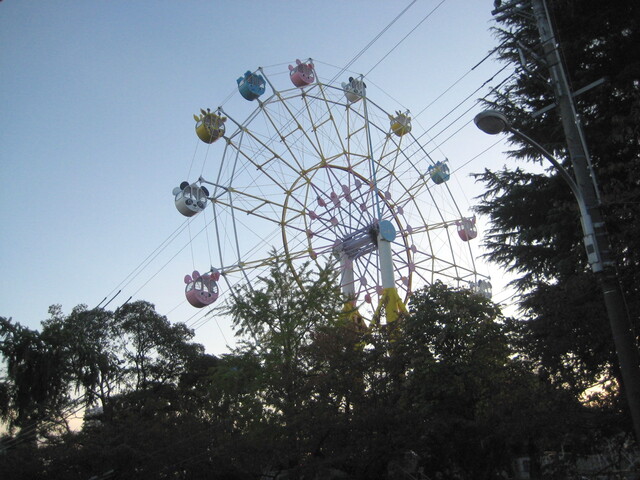
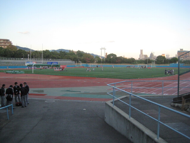
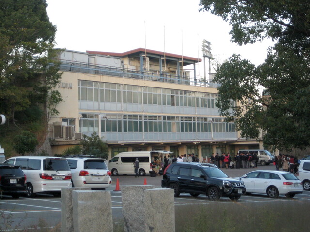
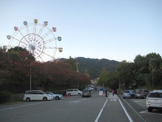
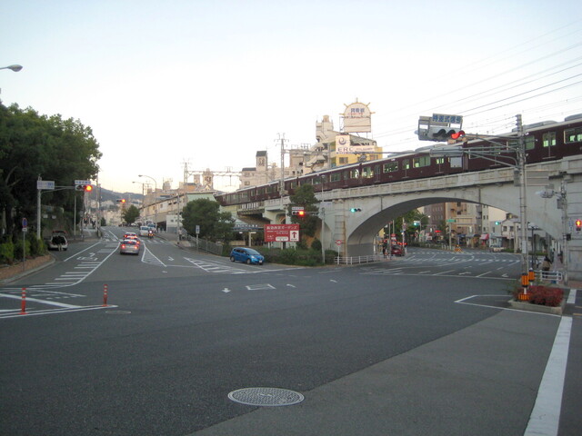
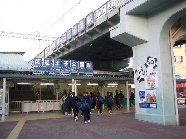
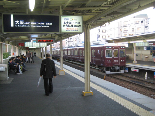
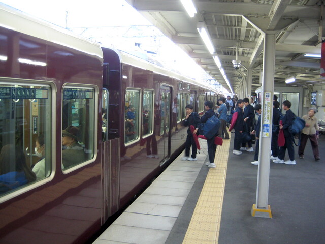
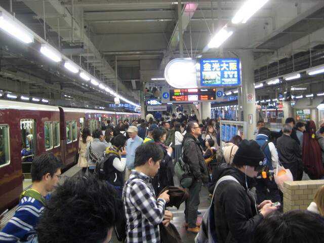
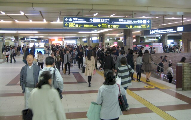
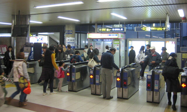
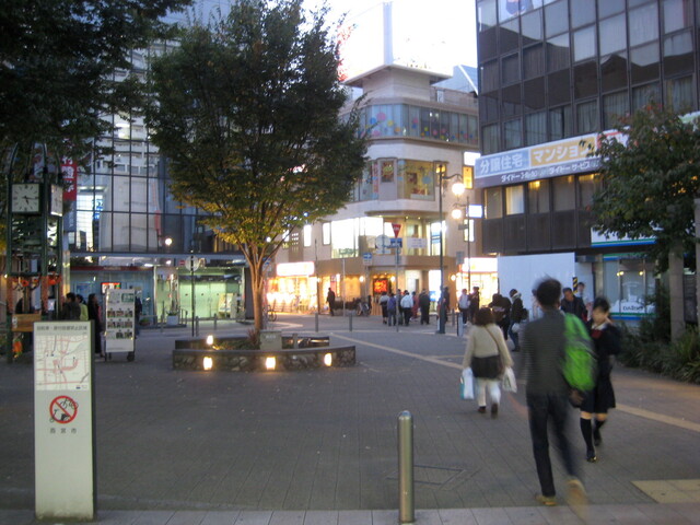
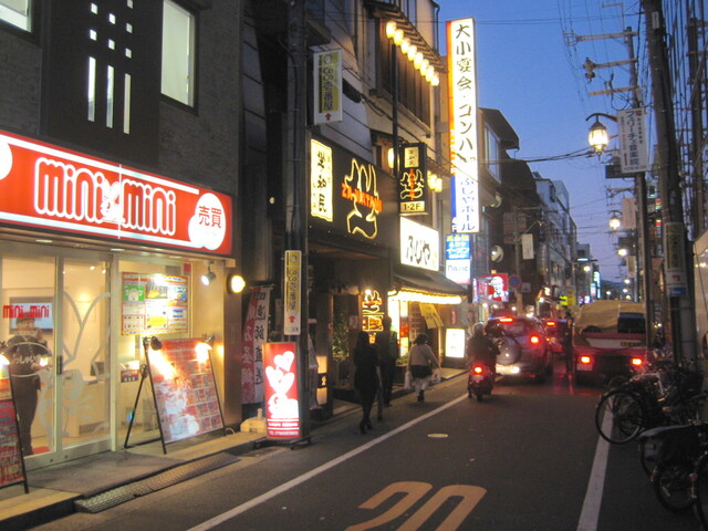
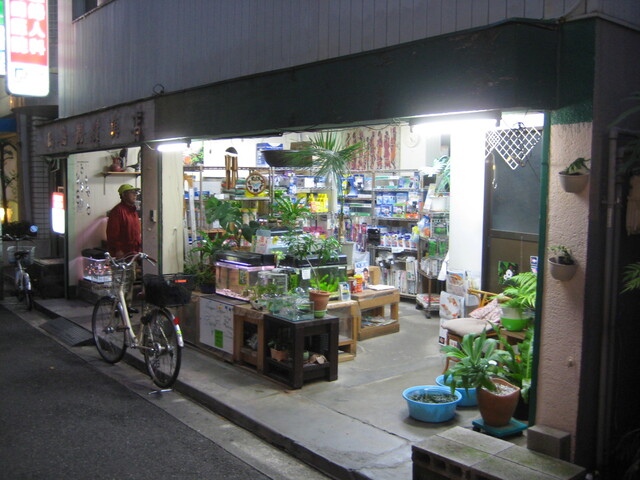
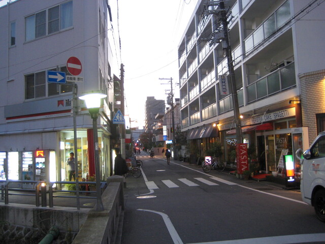
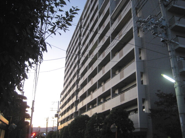
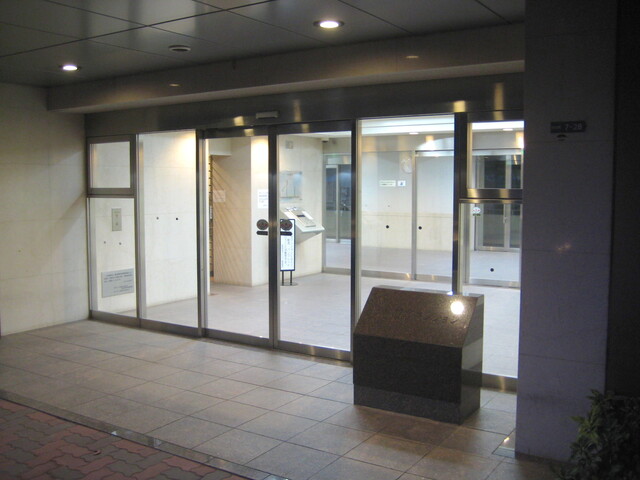
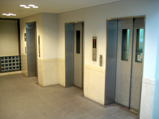
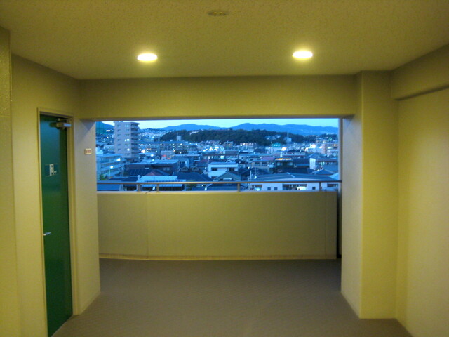
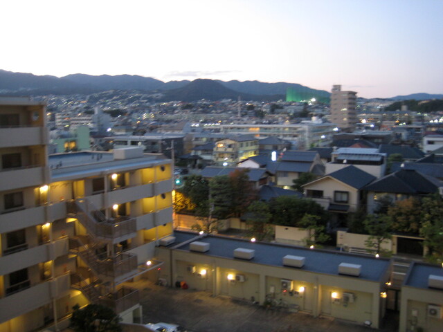
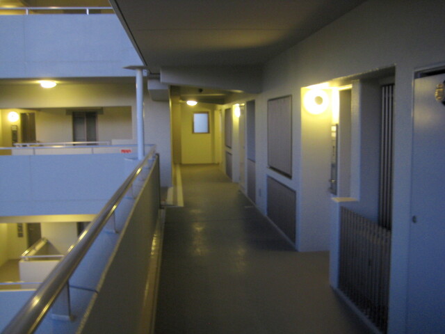
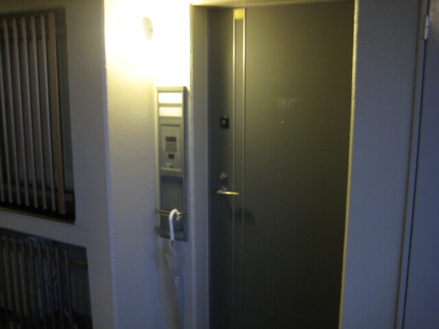
10:18Walking east from our apartment towards the train station.10:20Looking south along the Tsutogawa (Tsuto river). There are many rivers flowing from the hills and mountains to the north and emptying into Osaka Bay to the south. Because they run through dense urban areas they're now all contained within concrete channels to prevent flooding during rain storms and typhoons.10:20Looking north along the Tsutogawa. When they were children, Akemi and her brother used to spend hours along this river catching small fish and insects with nets.10:22Nishikita Park and the north-west entrance to Hankyu Nishinomiya Kitaguchi train station.10:22'Hankyu Nishinomiya Kitaguchi Station'10:24The north gates on the upper level of the station.10:24Plaza area and shops are located above the track platforms.10:25Heading downstairs to the west-bound platforms. According to the displays, the next express for Kobe leaves at 10:33 AM.10:27'ACTA' One of the first, big residential/shopping centers built after the Great Hanshin Earthquake of 1995. It's also home to the 'Co-op' supermarket where we do most of our grocery shopping.10:30The express train to Kobe enters the station.10:32Waiting for the 10:33 to Kobe to depart. I'm at the back of the train so I'll be close to the east exits at Kobe.10:46Kobe Sannomiya (Hankyu) station, showing east-side escalators to the lower level and exits.10:47East exit gates at Kobe Sannomiya (Hankyu) station.10:48Heading downstairs to the north-east exit at Kobe Sannomiya (Hankyu) station. Besides the Hankyu Railway, Sannomiya Station also serves the JR West, Hanshin Electric Railway, Kobe Municipal Subway, and Port Island monorail lines. 10:48Looking west along the street that runs parallel to the north side of the station. Lot's of night-life here in the evenings.10:48The little 'meeting park' near Flower Road on the north side of Kobe Sannomiya station.10:49Flower Road. North side of Kobe Sannomiya station.10:50Looking north up Flower road toward the mountains.10:52Looking north up Flower road with Maya-san, (Mount Maya), in the background.10:51One of the many sculptures along Flower road.10:55Another one of the many sculptures along Flower road10:57Yet another one of the many sculptures along Flower road10:57The pedestrian overpass at the intersection of Flower road and Nakayamate road.10:59The 'Lee Heim' building from the middle of the pedestrian overpass. This is where Terry Lee, one of Akemi's long-time friends, grew up. 11:01Another view of the pedestrian overpass from the north side of the intersection.11:07Passing through one of Kobe's 'Love Hotel' districts on the way to Shin-Kobe.11:07A typical 'Love Hotel'.11:08The usual 'discrete' drive-in entrances at one of the hotels.11:09A busy corner, yet, not 'sleazy'.11:09And, on the next block, the Kobe apartment, (7th floor, middle).11:09The Legal Shin-Kobe Parkside.11:12The world famous 'Wantage Books'. The best English language used-books store in Kansai, and publishing headquarters of 'Kansai Time Out' from 1977-2009. 11:16David Jack and Sachiko Matsunaga. Owners of Wantage books, and former publishers of 'Kansai Time Out'.11:19Following the Ikuta river north towards Shin-Kobe.11:21Looking south along the Ikuta river that flows down from the mountains, runs through downtown Kobe, and empties into Osaka Bay.11:21Shin-Kobe station, (Kobe's Shinkansen 'Bullet Train' station). The Ikuta river flows beneath the station.11:22The Ikuta river under Shin-Kobe station.11:23If you didn't have time to prepare a lunch, the station is a great place to buy some food before heading into the mountains.11:24Lots of 'Bento Box' lunches to choose from.11:24Even more box lunches.11:24Or, you can buy some souvenirs. (Not sure why you'd want to do that before a hike.)11:25Exit from the front of the station and follow the service road that goes north under Shin-Kobe.11:26This road will lead to the beginning of the lower part of the trail.11:26A good place to check out the map showing your location and some of the trails through the mountains.11:27The little bridge over the Ikuta river.11:28The Ikuta river from the bridge.11:28You can pray for 'good hiking' at this shrine.11:28Take the loooong stone stairway on the right that leads to the trail along the Ikuta river.11:31Finally at the top of the stone stairs.11:32Looking down at the river from the trail. Fall colors are just starting to appear.11:33There are several little platforms along this section for viewing the river.11:34Keep following the river.11:35Until you get to the Nunobiki Waterfall viewing platform.11:35Take a little rest and enjoy the sights and sounds of the waterfall.11:36Continue on up, following the stairs.11:37Looking back at the waterfall viewing platform and small shrines.11:39Another (of the many) shrine along the trail. 11:39If you're feeling a bit tired (already?), take a break at the small stand over-looking the falls. Cold beer is available.11:42Keep on the path heading 'up' and you'll reach a small rest-area and look-out.11:43View looking to the south. Kobe and Osaka Bay.11:43This little rest/look-out area is part of the 'Hillside Promenade'.11:45After a short break on the 'Hillside Promenade' continue along the trail that follows the Ikuta river.11:45... walking...11:46Approaching the 'Monkey Bridge'.11:46Not sure why it's called the 'Monkey Bridge', but somehow the name fits.11:47More river from the trail.11:50Not sure who does it, but the trail is always swept clean in the mornings.11:51A (usually) photogenic set of 3 parallel waterfalls, when it's not dry like today.11:52The Gohanmatsu Dam.11:53Some people take an easier route to get part-way up the mountain.11:54Getting closer to the top of Gohanmatsu Dam.11:56The lake behind the dam.11:56Walkway along the top of the dam.11:57Concrete torii marks the entrance to the next section of trail.11:58And, of course, another shrine to help you on your way.11:58It's a twisty route up this steep section of trail.11:58Back and forth.11:59Damn it's steep.12:00I need a rest.12:01Are we there yet?12:03Finally, a nice, level section of old paved road.12:04What the hell is this? It's the service entrance to the Nunobiki Herb Garden. Go through the smaller gate on the right. 12:06The mid-level station of the rope-way to the top level of the Nunobiki Herb Garden.12:07The view of Kobe and Osaka Bay from the mid-level station of the rope-way.12:08Lowest level entrance to the Nunobiki Herb Garden. Enter the gardens here and follow the walk-way up.12:11Herb Garden.12:12Herb Garden.12:12Herb Garden.12:13Herb Garden.12:14Herb Garden.12:14Herb Garden.12:16Herb Garden.12:18Herb Garden.12:19The Glass Houses at the Nunobiki Herb Garden.12:21The actual 'Herb Garden' section of the Herb Garden. Usually looks, smells, and tastes better than this.12:21Map showing the winding path from the bottom to the top of the Herb Garden.12:22The Morning Glories are still doing well near the top level rope-way station.12:23Entrance to the top-level of the Herb Garden.12:23View from the top-level of the Herb Garden with Kobe and Osaka Bay in the background.12:24They have a kind of 'German Village/Beer Garden' thing going on here.12:27Beer {{CAPT_INFO}} sausage stands and 'German Beer-Drinking Songs' wafting from speakers. In spite of all this, it's a nice place to score a table and take a short break before hitting the real trail.12:34Make your way through the rose garden...12:34... and into the fragrance museum.12:35Catch up on the history and art of making fragrances and perfumes.12:35Give your nose a workout with some 'basic ingredient' samples as you make your way to the back of the building.12:36Go out the back door of the building, across the courtyard, and through the gate. Remember to latch the gate behind you... to keep out the many inoshishi (wild boar) living in the area.12:37This will put you on the mountain trail to the top of Maya-san.12:39... walking...12:40... walking...12:40... walking...12:42... walking...12:45Looking back toward the top level of the Nunobiki Herb Garden.12:45... walking...12:46... walking...12:51... walking...12:52... walking...12:55... walking...12:56... walking...12:57... walking...12:57... walking...12:58... walking...13:01... walking...13:04... walking...13:07... walking...13:11... walking...13:12... walking...13:14... walking...13:16... climbing...13:17... climbing...13:18... climbing...13:19... climbing..13:20... climbing..13:22... walking...13:28... walking...13:29... walking...13:30Watch your step here.13:33These big rocks on the right side of the trail hide a great view to the south.13:34The view south over Kobe and Osaka Bay from behind the big rocks. Take a break here.13:35OK. Get back to... walking...13:36... walking...13:38... walking...13:41These stone steps can mean only one thing... you're getting close to the top.13:43Same with these wooden steps... the top is near.13:45Yup. The top of most mountains in this area are covered with microwave and tranmission towers.13:46TV and radio transmission tower.13:47After passing the transmission towers take the wooden steps off the right side of the trail.13:49This will bring you to a shrine and the actual 'peak' of the mountain. The concentration of microwaves is so intense here that you can warm up your lunch on any of the nearby rocks. (just kidding)13:50After a short prayer at the shrine, head back down the stairs and follow the paved road to the east.13:52A small rest area.13:52The top of another trail to the peak of Maya-san.13:52What the... ?13:53You mean I could have taken a bus up here?13:53And, what's this?13:54A tako-yaki and fried sausage stand?13:54Kikuseidai Koen... a large park, picnic area, and look-out near the peak of Maya-san.13:55A path toward one of the several look-outs.13:55One of the most popular viewpoints in the Kansai area... especially at night.13:56The great view from Kikuseidai Park on Maya-san. Osaka is off in the distance to the left. Kobe city is below and to the right. Nishinomiya is between Osaka and Kobe. Osaka Bay is in the middle.13:58Maya-san elevation sign (690 meters) in Kikuseidai Park.13:59Unfortunately the view is only good in certain directions.13:59And of course, there are vending machines. You learn to love these in the middle of winter... hot drinks!14:00Lot's of areas to hang out and picnic.14:03This covered area is a life-saver on hot summer days, rainy days, and especially cold winter days.14:15After enjoying the view, having lunch, and soaking up some sun, it's time to take the trail north and head for 'Hotel de Maya'.14:18The early fall colors look a little stronger on the peak of the mountain.14:19... walking north...14:21... walking...14:22Hotel de Maya.14:24Hotel lobby and gift shop.14:24Hotel lobby and balcony.14:24After paying the 540 yen fee at the reception desk and receiving your small bath towel, make your way downstairs to the entrance of the little Japanese-style 'Herb Bath'. (Not an official 'onsen').14:27Sinks in the changing room.14:27Storage bins in the changing area.14:29Head into the bath area and wash-up before entering...14:29... the hot herb bath. No better way to recover from a long hike... especially in the middle of winter!14:48A bit of the view from the bath windows.14:56After a long, relaxing soak, get dressed and head back upstairs to the lobby.14:57There's a nice few from the lobby balcony as well.14:58The view from the lobby balcony.15:04OK. I know. This is becoming less and less like a real 'hike', but I find it hard to resist the 'keki-seto'. (Cake-set... coffee and cheese cake.)15:33After that long, hot soak in the herb bath and the tasty cheese cake and coffee, it's time to start heading home.15:34Along the trail from Hotel de Maya back to Kikuseidai Park.15:36More early fall colors coming through.15:39One last look towards Osaka from the Kikuseidai Park lookout.15:40Last look towards Kobe from the lookout.15:40It must be getting late... the park is almost empty. I'm not looking forward to that long hike back down the mountain. And, this is when those scary inoshishi start coming out.15:40What's this? A ropeway! My favorite part about hiking to the top of Mount Maya.15:41This is the top level station of the Maya-san ropeway. Get in line...15:42... but get your 'one way' ticket down first, (about 860 yen).15:44The Maya-san ropeway about to depart from the top-level station.15:45On the way down there's a great view and recorded commentary, (in Japanese).15:48From the ropeway.15:49Approaching the lower level station of the Maya-san ropeway. Doesn't look like we're close to the bottom yet though.15:49The ropeway has been operating for decades... the latest upgrade was in 2001.15:51Passengers leaving the ropeway car at the lower level station. But I'm still half-way up the mountain!15:52Ahhh. The rest of the way down is by cable-car. Top-level cable car station.15:54Maya-san cable-car ready to depart for the lower level station.16:00Looking back up the mountain along the cable-car tracks.16:00Damn! It's steep!16:06The lower level station from the cable-car steps.16:06Maya-san cable-car.16:07Maya-san lower level cable-car station from street level.16:08Still a long walk downhill to reach the nearest Hankyu train station.16:15An interesting graveyard (pet cemetery?) on the way down.16:16Walking along another of the many rivers from the mountains, with the Kobe City highschool grounds on the right. 16:18... walking... down...16:20Netting to protect some of the kaki (persimmon) from being eaten by flying things.16:25A local fire station in Kobe city.16:27An interesting temple along the road on my way down the hill.16:30No hike up Maya-san is complete without a short visit to my feathered friend 'Paco' on the way home.16:31Paco loves being scratched on the back of his head and neck... but that huge beak always keeps me cautious.16:34Continue on down the river towards the parking area of the Oji Koen Zoo.16:37A partial view of the 'Hunter Residence' located on the zoo grounds. This house is a culturally important 'foreign' building from 1889.16:39Part of the kiddies amusement park area in the Oji Koen zoo.16:40Ferris wheel in the amusement park area in the Oji Koen zoo.16:40The big sports stadium beside the Oji Koen zoo.16:42Main entrance to the stadium.16:42A last look back at Maya-san from the parking area of the Oji Koen zoo.16:46Finally the Hankyu Oji Koen train station. Almost home.16:48Hankyu Oji Koen train station.16:49On the east-bound platform of the Hankyu Oji Koen train station.16:56Getting ready to board the local train bound for Nishinomiya.17:13The eastbound platform at Hankyu Nishinomiya station with people waiting to catch the express to Osaka's Umeda station.17:14Heading toward the North exit.17:15North exit gates at Hankyu Nishinomiya Kitaguchi station.17:16Back at Nishikita Park outside the station. It's getting dark.17:16Walking home.17:18The goldfish store is still open. It was here when Akemi was growing up.17:18Heading toward our apartment building.17:21Our apartment is the second from the right on the sixth floor.17:22Building entrance.17:22Where the super hangs out during the day.17:24Main floor elevator lobby. 17:24Sixth floor elevator lobby.17:25View from the sixth floor walkway, with Kabutoyama in the middle.17:25Sixth floor walkway to our apartment door.17:25I'm home! It was a great hiking day.